Windy & Warmer Day Tomorrow
TONIGHT: Becoming Cloudy, low: 43°, Winds SE 5-10
TOMORROW: Cloudy AM, Clearing some, Windy, High: 64°, Winds S 15-25
TUESDAY: Sunny, High of 68°
A dreary morning morphed into a pleasant afternoon.
Temperatures jumped into the mid- 50s with light winds and sunshine. Certainly a better day to be outside than yesterday; Dallas-Fort Worth International Airport reported rain for a remarkable 11 hours straight, from 11 a.m. to 10 p.m. A total of 1.40" fell.
This is now the sixth wettest winter on record with a total of 12.41" of rain, the wettest winter in the last 20 years.
All indications in the weather pattern suggest mostly dry weather to end the winter with (the meteorological Spring starts March 1.
Right now in the seven day outlook rain chances barely get to 20 percent on only a couple of occasions.
This is a leap year, that extra day this month might be all we need to increase our rain total for the month as all the significant rain chances show up at last few days of February.
Right now we are at 1.88" of rain. In order to have three months in a row of "above normal monthly rainfall" we need a little more than ¾" of an inch of rain. Here is how the HPC paints the total rainfall forecast over the next five days. North and East Texas sit on the western edge of some good southern rains:
Clouds move into our area tonight. A low overcast sky will start our President's day. We'll have perhaps even a little drizzle around. Winds are going to pick up just as the clouds start to clear some. Highs are going to get into the low 60's but winds are going to be out of the south at 15-25 mph. Gusts will reach over 30mph.
There is going to be a wind storm out in the Amarillo area tomorrow, 60mph gusts are forecast.
The last time this happened (exactly 4 weeks ago on Sunday, Jan.22) a cold front swept that dust right into the metro area by the end of the day. That day we had wind gusts in the metro area approach 50mph, we are not expecting that kind of wind tomorrow but there is good chance the dust gets to at least to Wichita Falls, Bowie, Graham and Breckenridge.
The cold front should reach the metro area just after nightfall tomorrow. It is a pacific front, not very cold air is behind it.
I'm going to keep rain chances in our northeast corner keep them under 20% coverage. There just isn't a long enough window of a south wind to get our dew points up and increase rain possibilities.
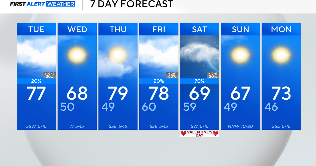
Tuesday looks very nice with a high in the upper 60s and sunny skies.
We should be around 70° on Wednesday and in the mid-70s on Thursday. A cold front comes through Thursday night, highs will barely reach 60° on Friday. Right now Saturday looks dry but I'll keep a slight chance of rain in the forecast for Sunday for now. Highs will be in the mid-60s both days with a very windy day in store for us Sunday.
