Winds Rage This Weekend...Followed Up by Rain Next Week
WIND BLOWN ON SATURDAY
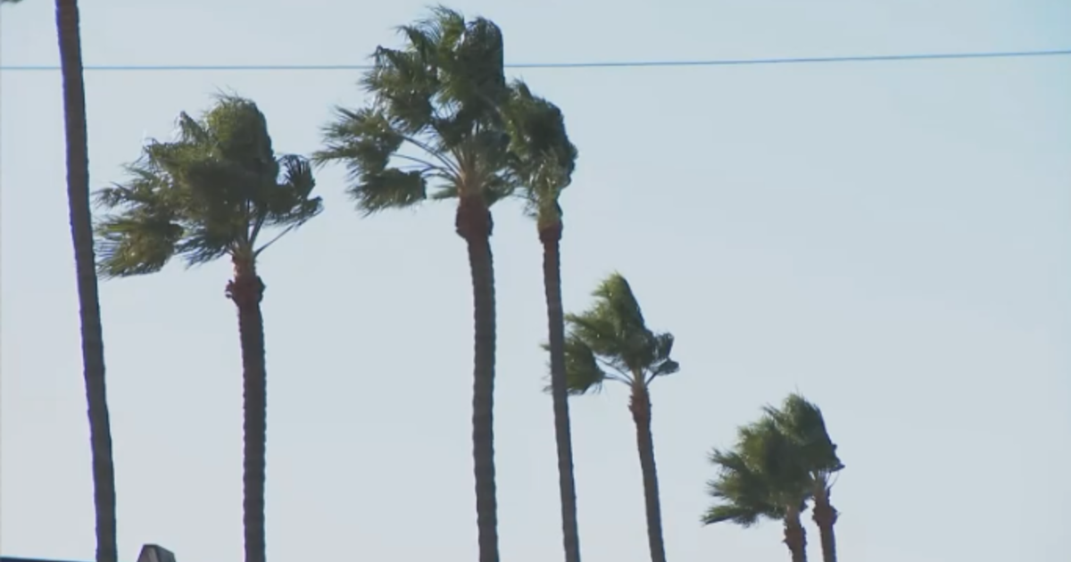
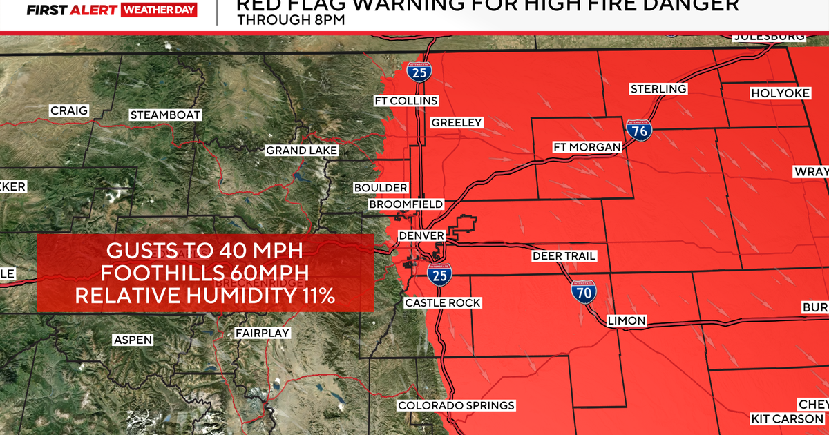
It was breezy on Friday, but on Saturday it will be down right windy. Very windy. A low pressure system in the northern United States will strengthen and create a strong pressure gradient. This occurs when a strong low and a strong high pressure are not that far apart. The end result is strong winds blowing toward the low. In this case, that means a strong south wind on Saturday. Look for speeds around 25 to 35 mph...with gusts closer to 40mph at times!
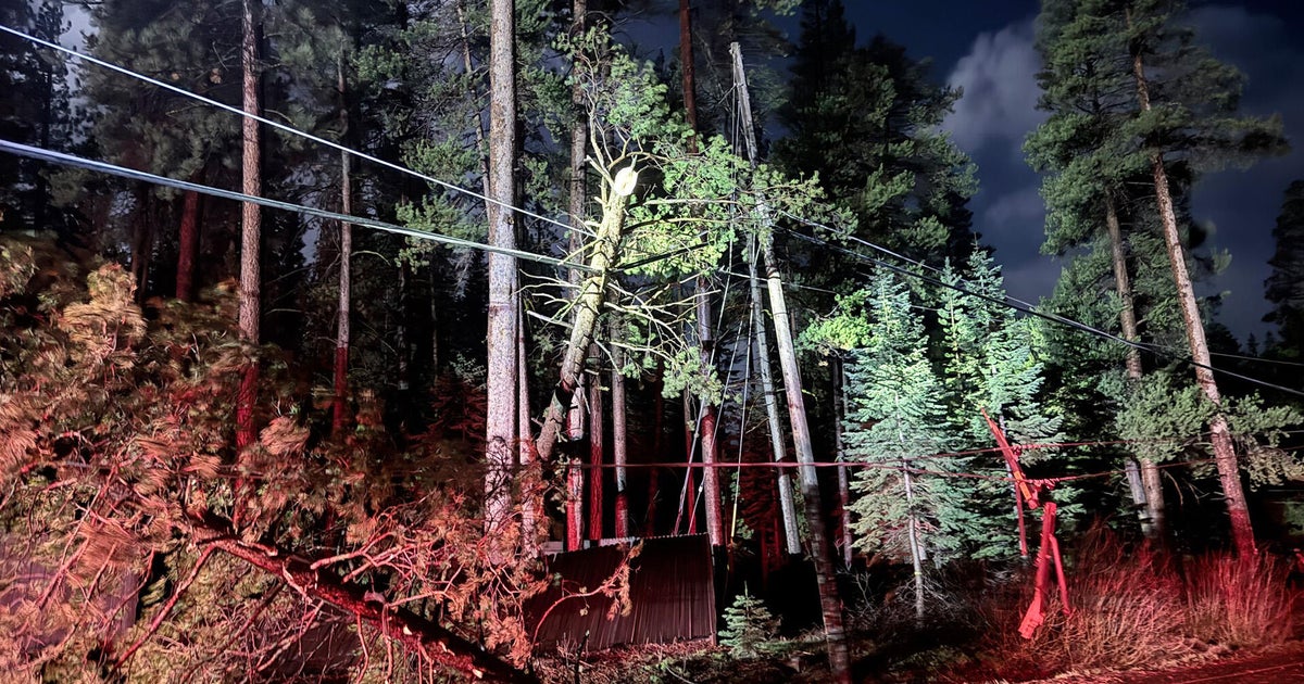
Be careful on area lakes...they will be very choppy. Watch out if you drive high-profile vehicles like SUVs as they have a great chance of swerving into a neighboring lane if a strong gusts pushes them. And of course be careful doing any outdoor burning. There are still several burn bans in effect for our area....including Dallas, Wise, Hunt, Johnson, and Rockwall counties.
WET WEATHER RETURNS MONDAY
The wind-producing system over the weekend will lift to the north and not bring us any rain. But another system....now off the coast of California....will move our way by the start of next week. This will provide the necessary lift and spin in the upper atmosphere for scattered showers and thunderstorms. Look s like the best chance of seeing rain will be during the afternoon on Monday and especially into Monday evening. Showers could linger into Tuesday morning before the system moves off to our east.
Don't forget to always check out your 7 day forecast online here.
