Tuesday High Winds, Fire Danger Leads To Strong Overnight Cold Front Wednesday
NORTH TEXAS (CBSDFW.COM) — After a very pleasant Tuesday afternoon, a strong cold front will bring big weather changes Wednesday night into Thursday.
There will be a cap in the atmosphere helping to limit severe storms during the daytime on Wednesday. The daylight hours will feature cloudy skies, strong southerly winds, highs in the lower 70s and spotty showers. A rumble of thunder and maybe small hail is possible in the afternoon.
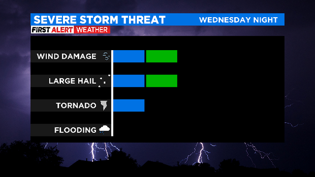
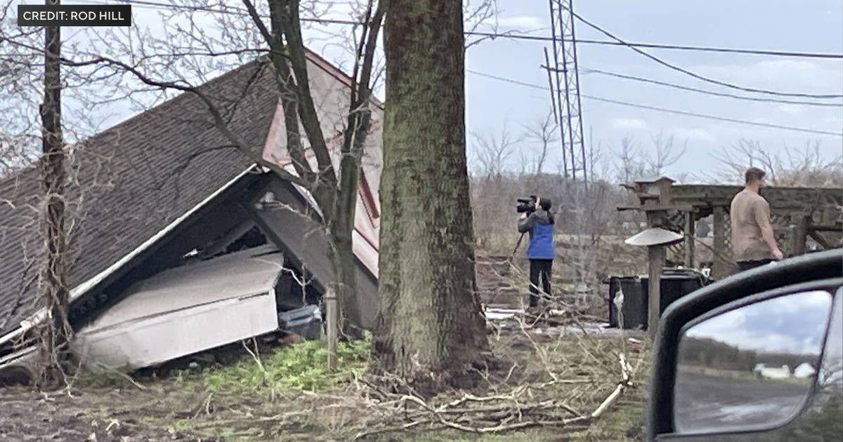
The window for severe weather looks to be overnight -- after midnight -- into early Thursday morning. The storms will still have to overcome the cap before they can strengthen enough to become severe. The main threats during any severe weather will be damaging winds and large hail. The tornado threat is low but can't be completely ruled out.
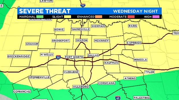
The Storm Prediction Center still has the Metroplex under a slight risk of severe storms for late Wednesday night.
Right now, the precipitation looks to clear out of DFW and into East Texas by 9:00 or 10:00 a.m. Thursday. Then we have strong northerly winds pulling in colder air and causing temperatures to fall Thursday afternoon. This will set the stage for a cold Friday morning, with temperatures once again below freezing -- in the upper 20s. From there the sunshine returns.
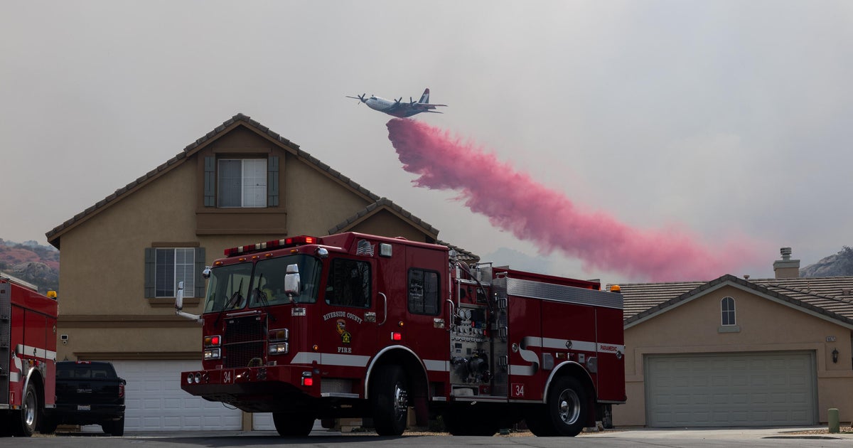
As far as your Tuesday weather is concerned, it's looking pretty great. Sunny skies and highs in the low 70s. Southerly winds will also strengthen this afternoon, gusting to near 40 mph through the evening hours. This will continue an elevated fire threat for areas along and west of U.S. 281.
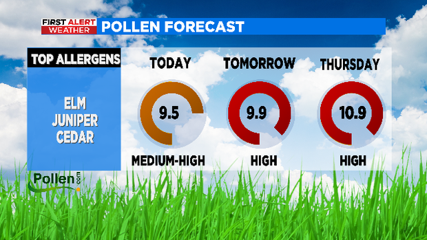
If it is your trash day, you may be wondering where your trash can got off to when you return home. And if you have found yourself sneezing more, sorry but the pollen count is only going up over the next three days.