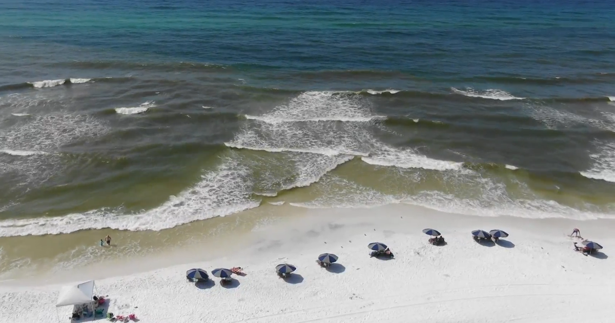
T.S. Debby Update, Hot in Texas Today
We awake this morning to find Tropical Storm Debby packing 60mph winds and still moving very slowly north. It only moved about 40 miles since last night night closer to the U.S. The National Hurricane Center issued a Tropical Storm Warning for the Alabama coast eastward across the panhandle of Florida.
The forecast path changed little overnight. Debby should take a turn to the west tomorrow and slowly move toward the Texas coast. The forecast still has it in open water by Wednesday off the coast of Lousiana.
The National Hurricane Center is posting a 28% chance Debby will become a hurricane over the next 2 days.
We'll continue to forecast some clouds and stronger east winds for north Texas because of the effects of Debby, just delay that effect by a couple of days. This means that the little mini-heat wave we are forecasting will linger into the end of next work week.
We are still forecasting a high today of 100 degrees. It'll be close but this might be the first day this year we have hit the triple-digit mark. If not today than over the next three days will hover right around that number. We'll still be in the upper 90's by Thursday or Friday. If T.S. Debby hurries toward the Texas coast we could be dropping those highs a few degrees a little faster.


