Sunny start to Meteorological Spring in North Texas, storm threat ahead
March 1 marks the start of Meteorological Spring — and the weekend is delivering.

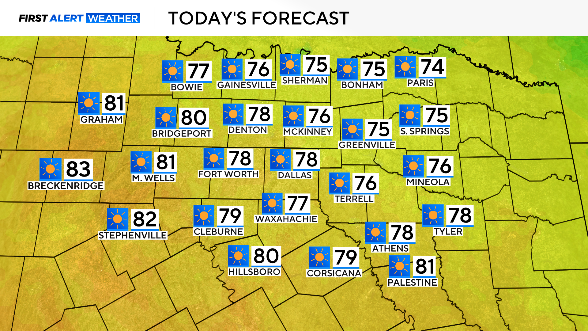
North Texas is enjoying lots of sunshine Saturday, with temperatures climbing into the upper 70s. Some areas out to the west could even see temperatures in the 80s.
A disturbance is headed toward the region tomorrow, increasing cloud cover as the afternoon approaches.
The area is on the tail end of the system tracking through Oklahoma on Sunday, which could bring showers and a few storms to western counties.
While severe weather is not expected, lightning and brief heavy rain are possible.
Some showers may hold together as they head east into Dallas-Fort Worth on Sunday evening.
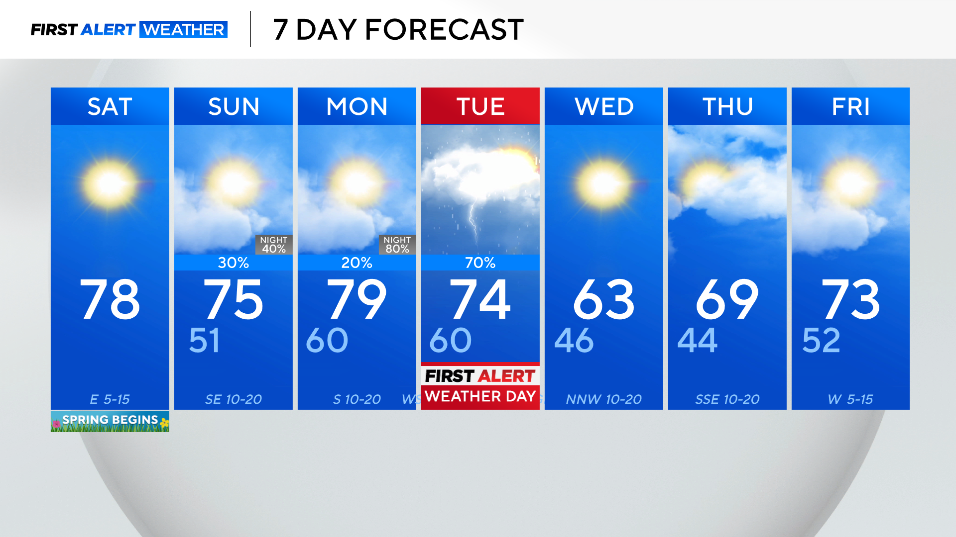
The stronger system of more concern moves in late Monday into Tuesday.
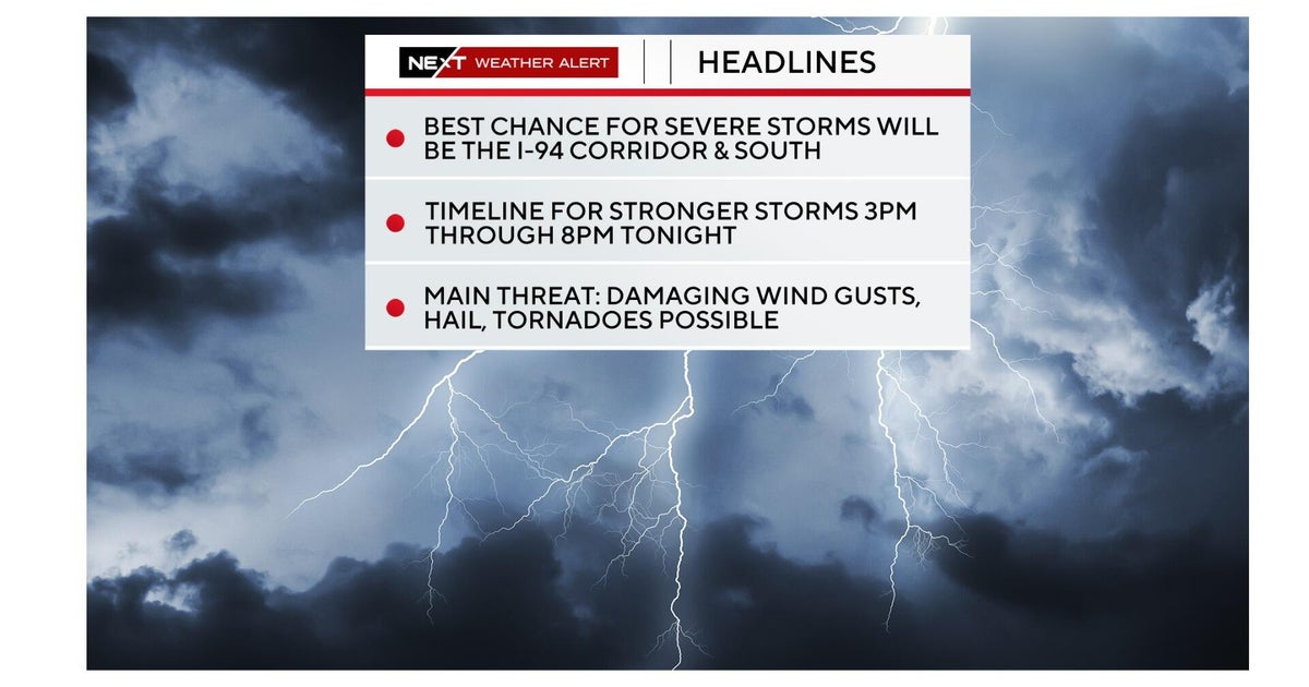
A First Alert Weather Day has been issued for Tuesday due to the threat of strong to severe storms.
Large hail and damaging winds are the main threats, but an isolated tornado can't be ruled out.
The current forecast shows storms moving into western counties late Monday night and tracking east through North Texas into Tuesday.
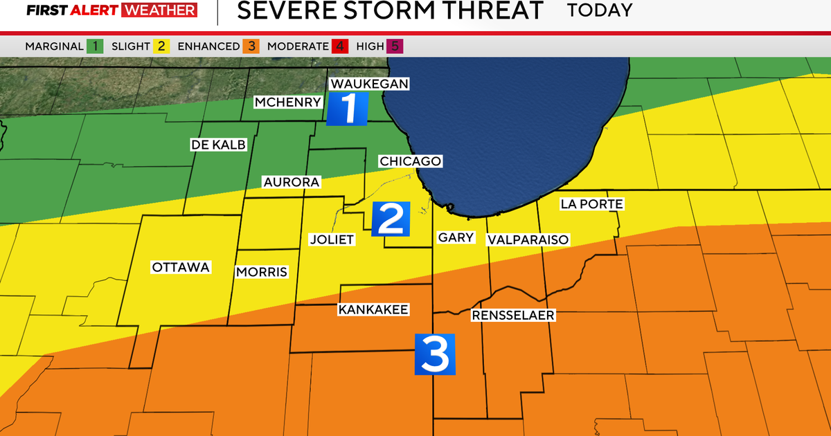
The Storm Prediction Center highlights areas along and east of I-35 for the potential of severe storms, with the greatest risk to Arkansas and Louisiana.
Strong winds will develop behind the system on Tuesday afternoon. A Wind Advisory is likely and depending on rainfall totals, areas west of I-35 may see a critical fire threat.
Please stay with the First Alert Weather Team for updates ahead of Tuesday.
In the meantime, enjoy a great start to March.
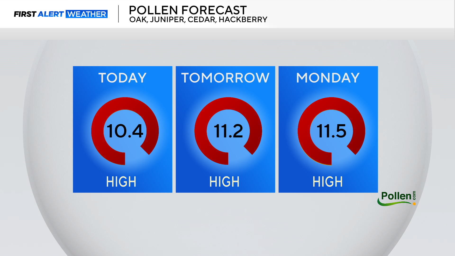
Keep in mind the pollen count is high when soaking up the sunshine.