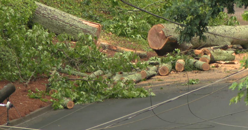
Strong, severe storms possible Monday afternoon
NORTH TEXAS – The CBS News Texas First Alert Weather team has issued a weather alert today. It's warm, windy and muggy in North Texas, and we are blanketed by clouds.
Severe storms are beginning to impact western parts of North Texas. Storms are moving east/northeast at 50-60 mph. Large hail and damaging winds remain the main hazards.
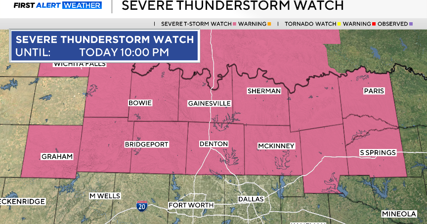
A Tornado Watch and a Thunderstorm Watch are issued until 9 p.m.
We are tracking the potential for strong to severe storms to develop in parts of North Texas Monday afternoon and evening, including parts of the metroplex. All the ingredients for some severe storms are in place, but a key question remains: Which will win, the cap or the instability?
The cap is a layer of warm air higher up in the atmosphere. Storm updrafts develop and are driven by the warm, moist air around them. The updrafts continue building higher through the atmosphere, feeding off the warm and moist conditions closer to the surface (the taller the updraft, the stronger the storm). But if the updraft hits a later of warmer air, then it can't continue growing upward (inhibiting its ability to intensify and become severe).
This morning, parts of North Texas were under levels 2 and 3 (slight and enhanced) risks for strong to severe storms. The Storm Prediction Center has upgraded parts of the region to a level 4 (moderate) risk. This is where the highest likelihood of storm development is for our area, and where the storms would be most capable of producing large hail and isolated tornadoes. However, you see all the area under some coloration – we all have the chance of seeing severe storms later today, and we want you to be prepared.
We have a cap in place today, but we're also expecting a dryline to move in from the west. We could also see a few breaks in the clouds, which would lead to even warmer temperatures. If there is sufficient heating, or if there's a location where the cap is weaker (like along a dryline) then the cap could break, allowing for those storms to regrow and quickly reach severe limits.
The latest high-resolution model guidance suggests the cap may hold a bit longer for North Texas. This would be good news, as it would likely limit how many severe storms we see in North Texas this afternoon and evening. But even if the cap holds a bit longer, there will likely still be some severe storms – especially the farther north you are.
We expect to see strong storm development to the west starting around 4 p.m.
The closer the storms are to the moderate risk area, the more likely they will produce large hail and even isolated tornadoes.
The storm threat stretches into Central Texas, near and along the I-35 corridor. We'll watch from 7-10 p.m. for storms in this area.
Most of the storms will be north and east of our area by midnight. We do not anticipate this being an all-nighter weather event.
The images above are just one model's guidance. We will be monitoring the cap throughout the afternoon. The National Weather Service team in Fort Worth is planning to send a special weather balloon up around 3 p.m., which will help us gauge the strength of the cap heading into the evening.
Otherwise, we'll see mostly cloudy skies with high temperatures in the low 80s this afternoon. Tonight, lows will be in the mid-50s.
On Tuesday, we'll see mostly sunny skies. It will be cool and breezy with highs will be in the mid-60s. Winds could gust up to 30 mph.
For Wednesday through Friday, we'll have a good deal of sunshine. Highs will climb into the mid to upper 70s by Thursday and Friday.
This weekend will feature sunshine on Saturday and a chance of storms on Sunday. Highs will be in the upper 70s.
All eyes are on the First Alert Forecast next Monday for the Total Solar Eclipse.
At this time, the weather will be a bit unsettled on Monday with clouds and even a few showers and storms in the forecast. It's still too early to tell if we'll have some breaks in the clouds or showers during totality, which will happen around 1:42 p.m. on Monday. Temperatures will be in the 70s.


