Stormy Monday Night...
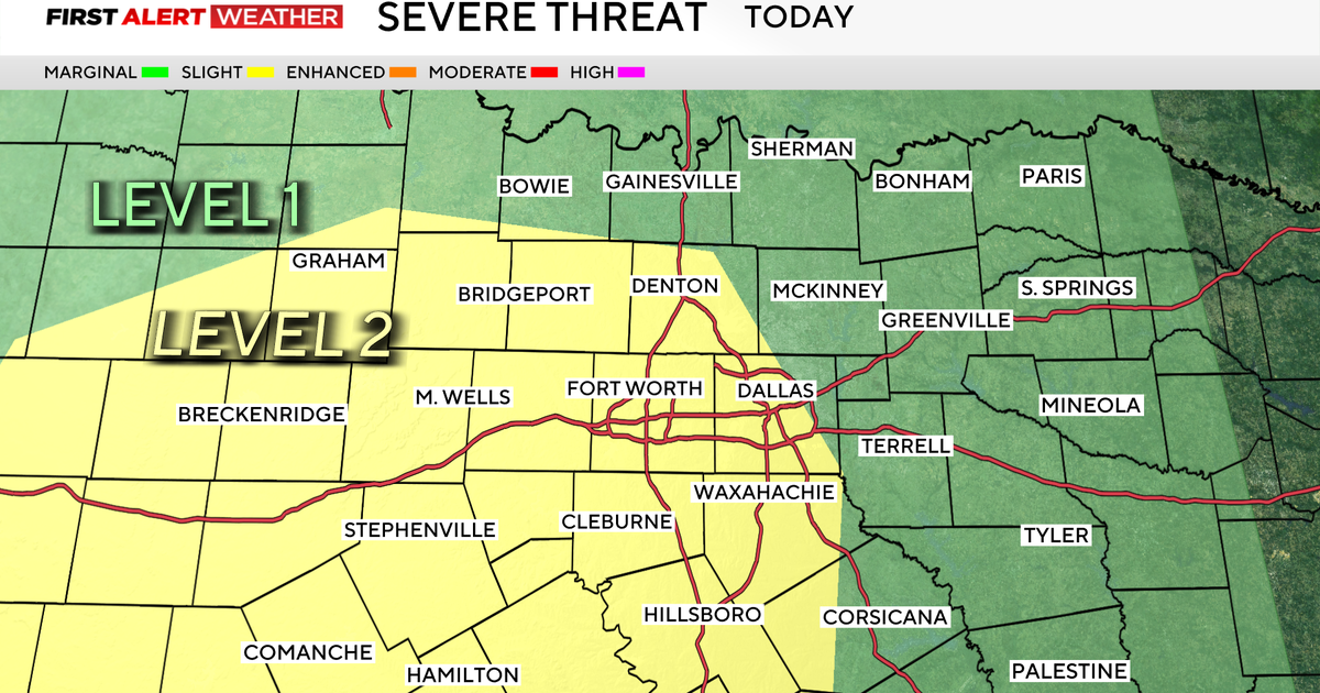
SEVERE T'STORM WACTH FOR PARTS OF NORTH TEXAS…
Severe T'storm Watch is in effect for areas north and west of DFW until 11pm. Denton, Cooke, Parker, Wise, Jack, Palo Pinto, Montague and Eastland Co are included in the watch. This is a PDS Watch. (Particularly Dangerous Situation). We don't see PDS Watches very often. It basically means the intensity of these storms is expected to higher than a normal severe thunderstorm. The discussion on the watch suggest 80 mph and hail to 3 ½" is possible with some of these storms that develop. This is more likely in Oklahoma where the watch extends, but a few storms here in Texas may become this strong later this evening.
STORMS FOR METROPLEX…
Although at this time, the metroplex is not in the watch. Storms are expected to arrive later on tonight here in Dallas/Fort Worth. Some of these will likely be severe. High winds and hail will be the main threat. This does not appear to be a huge tornado threat. You can never rule it out completely, but the tornado threat is pretty low.
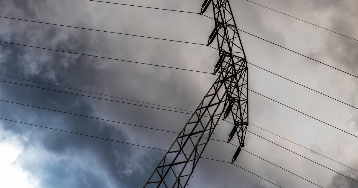
WIND RELIEF…
The wind has been brutal the past few days. The high winds are a result of a deep area of Low pressure in Colorado and a strong high pressure sitting over the northeastern Gulf of Mexico. The tight pressure gradient between this low and high is what drives the wind. Think of it as water rushing down a hill to the valley. The steeper the hill (stronger the high pressure) and the lower the valley (the low pressure system) water would rush quickly from the top of the hill down to the valley. It's a stretch of an analogy, but it is similar. This pressure gradient will relax over the next few days.
MORE STORMS TOMORROW…
A cold front will slide into the area tonight and this will help be the focus of the storms we see this evening and overnight. This front will stall over the area tomorrow and be the focus for another round of storms during the afternoon and evening hours tomorrow. Some of these will be severe with damaging winds the main threat again tomorrow. Storms may also linger into tomorrow night before we dry things out Wednesday.
ONE MORE CHANCE OF STORMS THIS WEEK…
It looks like Thursday night into Friday morning could feature another round of storms as northwest flow in the upper levels of the atmosphere will bring another disturbances into the area.
HEAT FOR THE WEEKEND…
After several rain chances this week, the ridge of high pressure which has been responsible for all this hot weather over the past few weeks will reestablish itself over the area. This means hot and dry weather for the weekend and early next week.