Storms Chances Picking Up Again
It was a hot day in June for our Sunday, for the second day in a row highs again reached to 96° at DFW making this the hottest weekend so far this year. Combined with the high humidity we had the "feel like" temperature hit 100° at the airport. A brisk south wind helped a little but still, the typical high this time of year is 89° so this is a little warm for the start of summer.
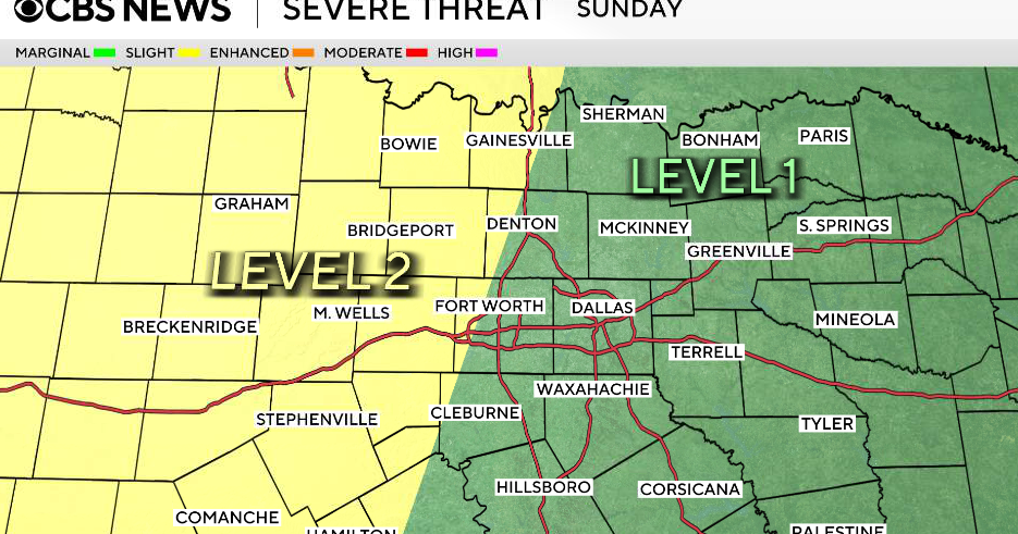
The winds will stay up through the night. There'll be a few high clouds to get in front of the almost full moon (it rises tomorrow night at 9:08pm in full status). Storms have again developed to our west; they might hold together to reach into Montague and Cooke counties overnight.
Storms chances do pick up starting tomorrow evening. We have a couple of things in our favor for a run of stormy afternoons and nights in fact. There is a upper-level low down over Mexico that is going to creep our way from the south. This will increase our moisture in the mid-levels.
Our best hope for summer rain is a front sitting currently over the Kansas/ Oklahoma border. This front will move into north Texas by late Monday. This will help trigger slow-moving storms. Because of a ridge of high pressure that will form over the central part of the U.S. we expect little to change this weather pattern.
We'll have scattered but daily storms Tuesday to Thursday; heavy rain could fall in isolated areas. The rain and clouds will limit the hit somewhat, highs will stay in the upper 80's or low 90's each day.
We'll break out of this weather pattern by next weekend and leap right back into hot, dry June weather. But this is a forecast that includes 4 days of decent storm chances; a blessing when you reflect on the drought of last year

