Storms and Rain Tonight: Cold, Wet & Windy Wednesday!
STRONG COLD FRONT ARRIVES TONIGHT
A powerful storm system is moving thru the heart of the country. You may have heard about the blizzard conditions near Denver. This is the same storm system that will send a cold front our way overnight. This front will bring showers and thunderstorms to the area after midnight and very cold temperatures for April.
This storm is also bringing heavy snow to parts of the Central Plains. Here's a look at the winter storm warnings and winter weather advisories in effect.
Here is where the front is located as of 3pm Tuesday.
Here are the wind gusts at 3pm. Behind the front winds gusting above 40 mph out of the north
COLD FRONT TIMING
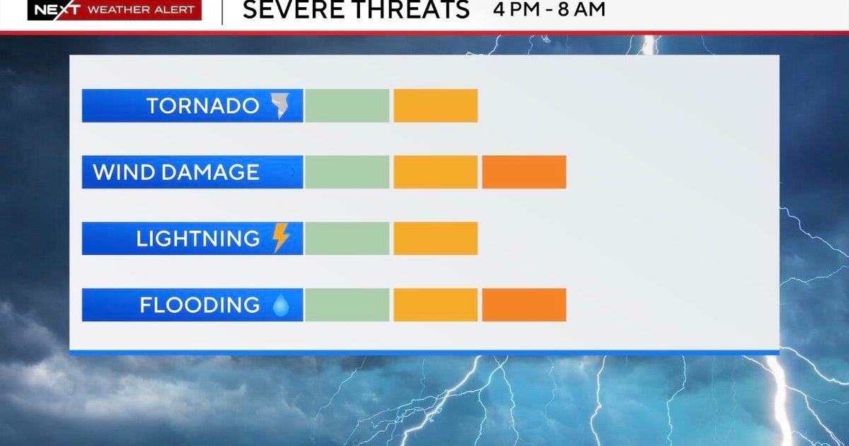
This cold front will be undercutting storms that develop along the front as we go thru the evening. This will help lessen the severity to some degree. Most of North Texas remains in the slight risk for severe weather.
SEVERE RISKS
The main concern overnight will be pocket change hail mainly nickels but possibly up to quarter size.
With the cold air undercutting the storms, the wind threat and tornado threat is low because of this cold air moving so fast.
RAIN AND STORM TIMING
Storms will develop well to the north and west of DFW this evening (i.e. Wichita Falls, Jacksboro, Graham area). These storms will spread eastward thru the night. I expect the cold front to reach Fort Worth and Dallas between 1am and 4am. There may be a few showers and light rain that develop before the cold front arrives. Around these hours, though, is the window of opportunity for any strong to severe storms. The main threat will be some hail. This does not look to be a very widespread severe weather event at all. Mainly we will just have to watch out for a few isolated hailers. If storms can stay out ahead of the cold front, there would be more of a wind threat. But all indications are the cold air will undercut the storms. Of course, there will be lightning with the storms and rain. Rainfall totals will range from .50" to 1.50".
SEQUENCE OF WHERE FRONT WILL BE LOCATED AS WE GO THRU TIME
TUESDAY 8PM - Storms developing along cold front northwest of DFW. These have the greatest potential to be severe.
TUESDAY 11PM - Storm coverage starts to increase along and behind the front. Storms ahead of the front are quickly undercut by the cold air.
WEDNESDAY 3AM - The cold front is passing thru DFW. Showers and thunderstorms will be in the metro area. Some may be strong producing some hail. It will be windy and colder behind the front with north winds gusting to 40 mph.
WEDNESDAY 5am - Widespread showers and thunderstorms. Some may still be producing some hail. Cold and windy in DFW with temps falling into the 40s.
WEDNESDAY 8AM - Cold and windy and wet for the kids off to school.
WEDNESDAY 1PM - Rain will be ending from west to east in the afternoon. It will be cold and windy though with temperatures still in the 40s and 30s at 1pm!
WEDNESDAY 4PM - Rain shifts to east Texas, depending on if we see any sunshine, temperatures will be in the 40s and 50s. Average high for tomorrow is in the mid 70s!
WEDNESDAY 7PM - A cold and breezy evening.
THURSDAY 8AM - Some area north and west of DFW will see a freeze early Thursday morning!
