Snow Possible In North Texas Thursday PM To Friday AM; But It Depends On How Cold It Gets
NORTH TEXAS (CBSDFW.COM) -- Time to dust off your mittens and earmuffs.
A powerful storm system is approaching North Texas on Thursday. We will see a chance of rain develop during the day Thursday, along with tremendous winds behind a cold front by Thursday afternoon, according to CBS 11's Jeff Jamison (Facebook - Twitter).
Crews from the Texas Department of Transportation conducting 'ice prevention' on freeways in advance of the possibility of the wintry precipitation.
As the upper-level storm moves overhead, the cold temperatures aloft will likely lead to a few snowflakes mixing in with the rain Thursday evening into Friday morning.
A lot of questions remain at this time. Will temperatures at the surface be at or below freezing Thursday night? Right now, it looks like they will stay just above 32°, but we'll need to watch this carefully.
If temps fall below freezing, we will obviously have more potential travel issues Thursday night.
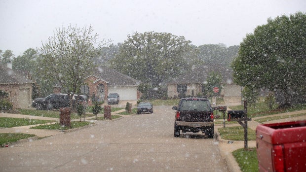
Grassy areas have the best chance of seeing at least some accumulation should precipitation fall in the form of snow.
The other big question is "how much snow could we actually get?" This system is moving quickly, so the amounts don't look incredibly impressive at this time, but again we are watching.
Any snow should end by mid-day Friday and temperatures will definitely be warm enough by then to melt most snow if it's on the ground.
Stay tuned to CBS 11 and CBSDFW.com, and follow CBSDFW on Facebook and Twitter for the latest updates.