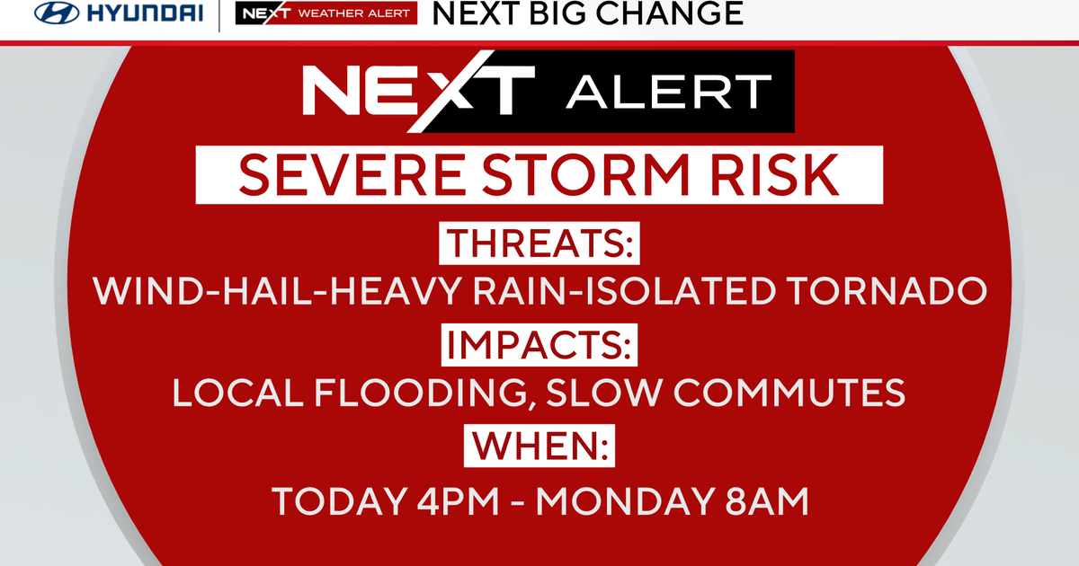
Severe Thunderstorm Watch
UPDATE 9:25PM
Severe Thunderstorm Watch for our western counties is dropped.
UPDATE 8:45PM
There is a chance a storm might reach into Earth County tonight. The severe weather has continued to stay to our WSW, severe storm between Abilene and Coleman right now about 60 miles from the cities of Eastland and Comanche, moving SE at 10mph. The SPC continues the watch but looking unlikely anything severe gets any close that Eastland or Comanche Counties.
UPDATE 6:50PM
Line is struggling to get organized, looking more and more that the severe threat will not enter our area. Read the latest MSD:
UPDATE 5:45PM
The cold front has cleared Wichita Falls and continues to head toward our area. We expect storms to fire up along the front in the next few hours in the watch counties. We are not expecting these storms to be severe when the reach the metro area around midnight.
-----------------------------------
UPDATE 4:45PM
Supercells have developed along a cold front in the watch area to our west. Tornado warnings have been issued for Mitchell and Sterling Counties. Again, this activity is 160 miles west of Ft. Worth so not an immediate threat. This is also where the atmosphere is set-up much better for severe weather (CAPE is around 3000 to go a little "inside baseball" on you). A storm has started to develop in Archer County southwest of Witchita Falls along the front.
-----------------------------
update 4:00pm
Severe storm over 30 miles NW of Abilene in Jones County slowly moving SE along Fisher/Jones county line. Flash flooding possible because of its slow movement. This storm is 160 miles due west from downtown Fort Worth and not a threat for the metroplex.
I expect the storms to form a cluster and then move slowly SE through the evening.
---------------------------------------------------------------------------------------
A Severe Thunderstorm Watch is in effect until 10pm for Eastland, Stephens, Jack, Young and Palo Pinto Counties.
At 3:30pm Severe Storms were forming around the Abilene area showing very little movement. We'll be keeping you posted through the evening if and when these storms approach our area.


