Same Old Disturbance Means Rain For Some
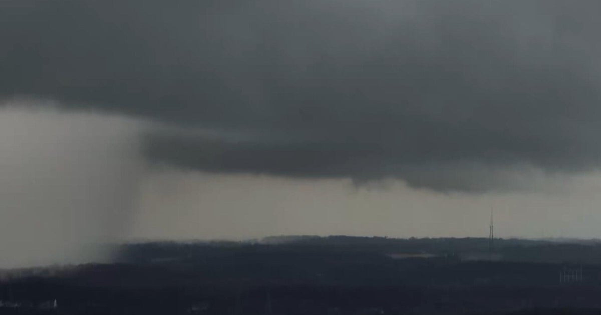
Clouds in our skies on this Monday, July 2nd associated with that upper level disturbance that has been hovering over South Texas since last week. This disturbance is centered over Mexico now, but still has influence here in North Texas providing weak lift enough to trigger spot showers and storms throughout the day especially with the afternoon heat.
Today: mostly cloudy, breezy & humid. 20% chance for storms. High 94. Winds: S 10-20.
Spotty showers and storms are possible throughout the day. We are not expecting severe weather, but locally heavy rainfall from the showers and storms is likely. Some lightning and 35-40 mph gusts are possible with the cells. There should be enough breaks in clouds today to allow ample daytime heating to the mid-90s. Like yesterday, south winds will be gusting over 20 mph and this will help the higher humidity in the air more bearable.
Tuesday & Wednesday: mostly sunny, breezy & humid. High 97-99. Winds: S 10-20.
After today's rain chances, the rest of the week returns to a dry pattern with hot, humid air in place. A Heat Index near 100-105 degrees is possible starting tomorrow. But, again the 10-20 mph breezes will help deal with the heat & humidity.
Thursday-Sunday: sunny & hot. High 100-101. Winds: S 5-10.
As the ridge takes over, we should start seeing fewer clouds in our skies. However, the wind pattern near 18,000 feet shows a predominant east/southeast flow that will continue to push humidity into North Texas along with weak energy. This means we may not go to completely cloud-free skies and the humidity will remain high through the weekend.