Record Heat Still On Track
SURPRISE STORMS
Morning Commute: spot showers & storms mainly Collin County to Red River. An upper level disturbance is triggering elevated showers with a few storms. Our computer model guidance is picking up on the disturbance, but not on it producing precipitable water…or rainfall. Spotty showers and storms will likely hold together through the morning commute, but only impact northeast parts of Metroplex.
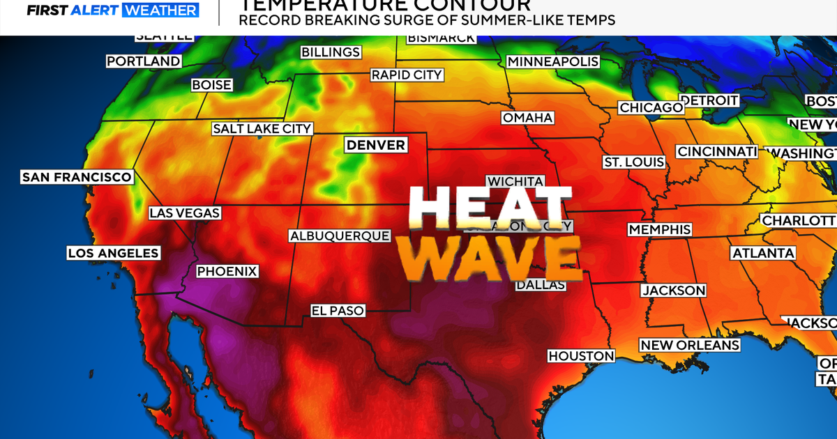
RECORD HEAT
Temperatures will run close to the 90 degree mark today through Friday. Our forecast highs are within a degree or two of the record over the next three days with us likely breaking Thursday's standing record of 91 degrees set back in 1955. As strong southerly winds continue to pump increasing humidity into North Texas, the more humid air will pull high temperatures down starting Friday and into the weekend. Temperatures will also fall shy of the 90 degree mark this weekend because a stalled cold front along the Red River will bring increased clouds.
WEEKEND RAIN CHANCES
As we meteorologists pour over the likely scenarios the computer models depict for the weekend, it's looking more likely that the our weekend cold front will stall somewhere along the Red River and not bring heat relief by Sunday. It looks to retreat farther north through Tuesday. This will mean a drop in rain chances and an extension of our heat. We will keep forecast highs on Saturday in the middle 80s with the extended forecast highs in at least the lower 80s. And we will keep small rain chances in for each day from Saturday until Tuesday.
TODAY: spot AM showers. Sunny, windy, hot. High 90 (record high 91). Winds: S 20-25.
THURSDAY: sunny, windy, hot. High 91 (record 90). Winds: S 20-25.
FRIDAY: sunny, windy, hot. High 90 (record 92). Winds: S 25-30.
SATURDAY: partly cloudy. 20 percent rain chance. High 86. Winds: S 15-20.
SUNDAY: partly cloudy. 20 percent rain chance. High 82. Winds: S 15-20.