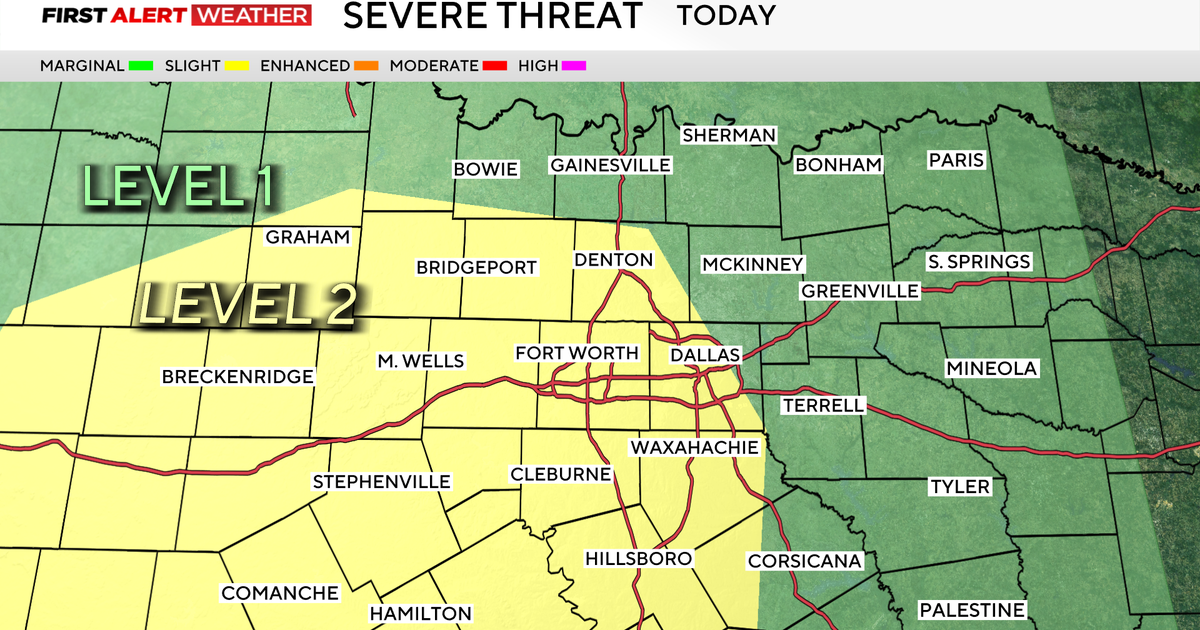
Rain Ends For The Week
Here's the radar estimate of how much rain has fallen since Tuesday across North Texas. The radar is over-estimating a bit in some areas...we see this a lot when storms contain hail but the radar doesn't factor that in to its estimates. Most of North Texas saw at least 0.50" of rain...with some areas picking up near 3" of rain since the beginning of the week.
The weekend is almost here along with cooler temps starting on Friday with a morning low of 62° and high of 85° and this is probably the last cool day for awhile. Saturday begins the rise of the temps back up to the 90s and with mild southerly winds, slight chances of rain along the Red River might develop during the afternoon and evening. The rest of the weekend shows mostly sunny skies with high temps around 94° on Sunday, and from the previous rain we've received the humidity levels will definitely be noticeable. After Monday, slight chances of rain will follow through until Thursday.
FORECAST
Tonight...Fair skies & mild. Low near 62° Upper 50s in outlying areas. North wind 5-10 mph.
Friday...Mostly sunny & warm. High 85° Southeast wind 5-15 mph by afternoon.
Saturday... Partly cloudy & hot again. High 92° 20% chance of storms mainly along the Red River & Oklahoma.
Sunday & Monday...Sunny to partly cloudy, hot and humid. High near 94°
Tuesday-Thursday...Partly to mostly cloudy, 20-30% chance of storms each afternoon. Still very warm. Lows in the 70s. Highs in the lower 90s.