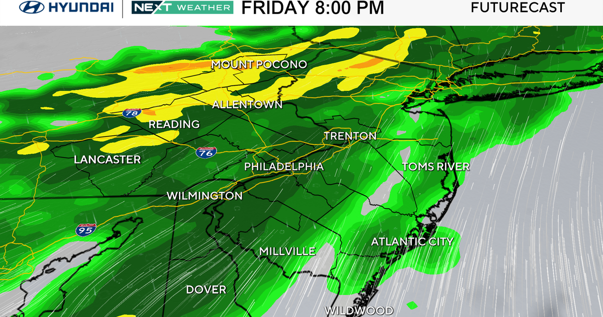
Rain Chances Increasing Early Next Week
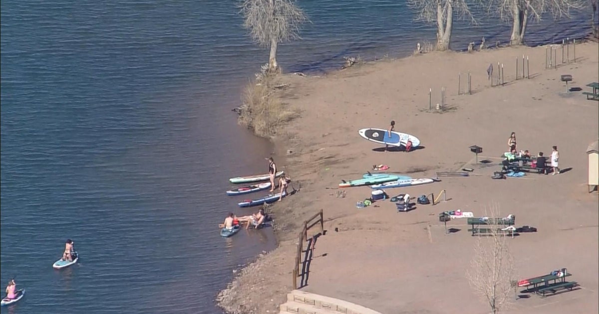
It's been another hot & humid day in North Texas and will be that way again tomorrow and Saturday too.
We have a ridge of high pressure atop Texas right now. Air beneath upper highs sink, heating things up and prevent clouds from building tall enough to produce showers & storms.
By Sunday, the upper high will drift way out to the west.
This will allow an upper level disturbance to move in from the northwest to approach us on Sunday.
There will be a chance of storms as a result on Sunday, most of the rain is forecast to be north of I-20.
As the disturbance moves directly overhead on Monday, the rain chance will go up. There could be some heavier showers and storms Monday, with the possibility of as much as an inch of much-needed rainfall!
And yes, we're still in drought over North Texas. The latest update now shows the worst category of drought, the exceptional drought showing up in our far western counties. Most of the Metorplex is under extreme drought conditions. Any rain early next week will be welcome, but won't be able to end the drought altogether. Coming up today on CBS11: how much rain would it take this summer to end the drought and could it be done?!?
The rain chances will taper off by Tuesday and then it's back to hot and humid weather for the rest of next week.


