North Texas is cool, cloudy to start winter solstice ahead of possibly one of the hottest Christmases in history
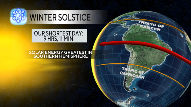
Winter solstice starts at 9:03 a.m. Sunday morning, and it's the shortest day and longest night of the year.
The winter solstice is different from meteorological winter. Meteorological winter is based on the average temperature of the three coldest months of the year, which are December, January and February. The winter solstice is dependent on the Earth's tilt and the sun's radiation. This is why the winter solstice occurs weeks later than the meteorological season.
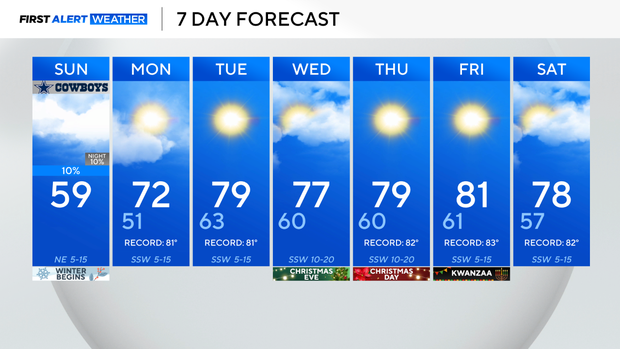
Sunday will be seasonal thanks to a cold front that passed through the area Saturday. The high will be in the upper 50s with cloudy skies and a slight breeze from the northeast. No accumulation of rainfall is expected, but don't be surprised to see a sprinkle.
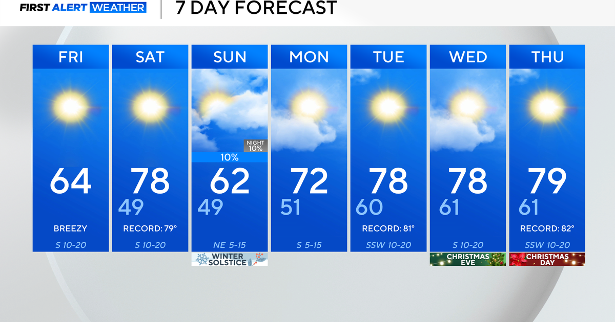
Starting Monday, a ridge of high pressure dominates the atmosphere. This will lead to temperatures climbing 10-20 degrees above average this week, potentially scorching daily high temperature records.
In fact, Christmas Day is forecast to be one of the warmest Christmases on record. If the high reaches 79 degrees, as forecasted, then it will be the third-warmest Christmas in DFW's records.
The next cool down is expected by the end of next weekend.
