Nice Warm Streak Ahead
FOUR DAYS OF 80's AHEAD
Highs Saturday afternoon reached into the upper 70's. Sunday's highs will get into the lower 80's, the warmest day since mid-March. Morning clouds give way to mostly sunny skies. Winds get a little gusty but all-in-all, fine April weather:
Monday we'll get even warmer, the western half will have highs in the 90's. We could have our first 90 degree day of the year at DFW Airport (it will have been exactly 200 days since the last one if it hits that mark):
ANOTHER WEEK, ANOTHER THREAT OF SEVERE WEATHER
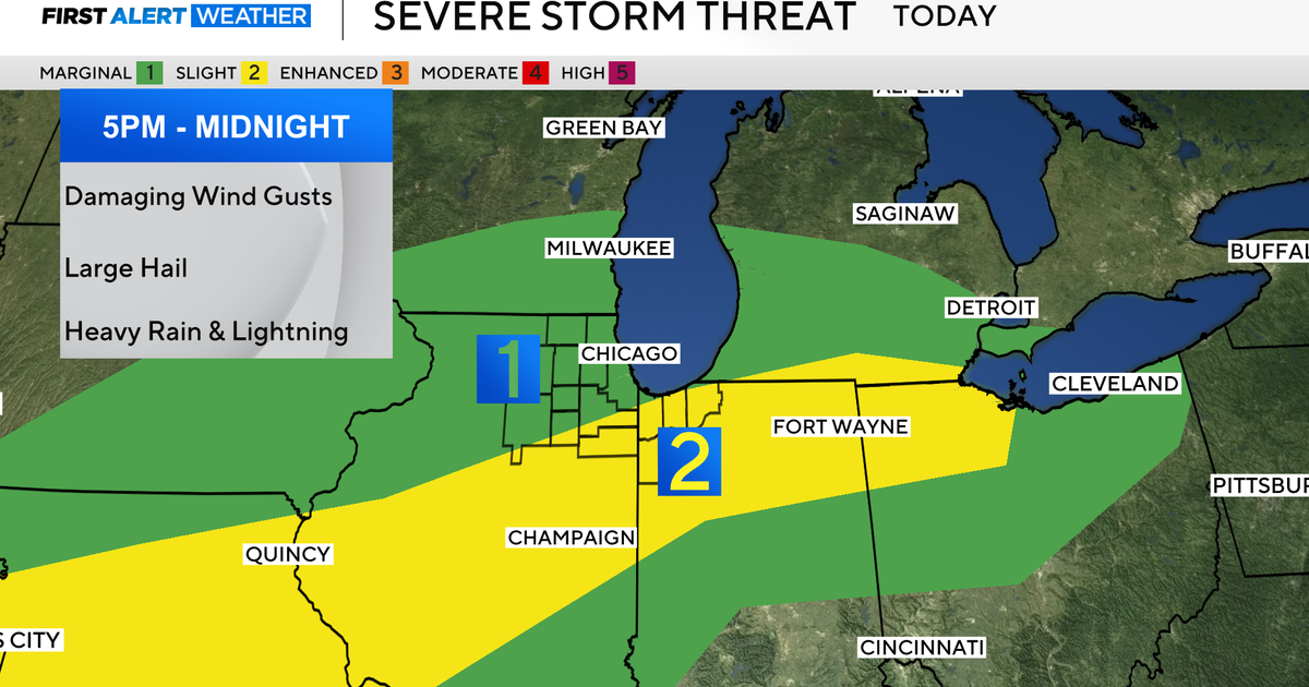
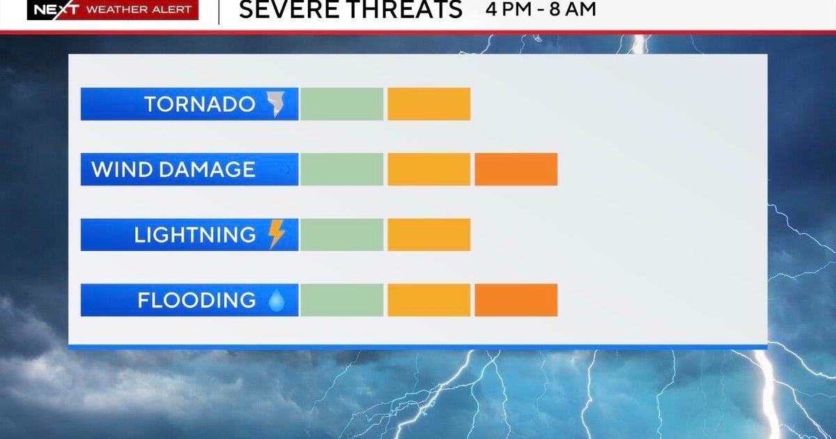
It is spring time and in the southern plains this usually means active weather. The next threat of severe weather shows up Wednesday afternoon as a cold front moves into north Texas. The severe weather first shows up in the western counties and spreads east as we get into the night:
Rain chances look reasonable generous as we could get rain on both sides of the frontal boundary, rain chances last into Thursday midday.
SHOT OF COLD WEATHER TO CLOSE THE WEEK
After the front passes through a strong north wind is going to make for a rather raw day on Thursday. Morning lows will be in the 40's, I expect highs will stay in the 50's all day with the clouds. By Friday morning lows will be all the way down into the upper 30's. A dry and warmer weekend follows:
