Latest on the Heat and Texas Dry Spell Worst on Record
HOT AND MAINLY DRY WEATHER TO CONTINUE…
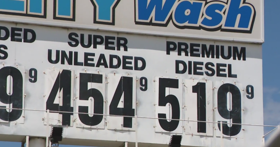
Today marks the 6th day in a row with temperatures at or above 100 degrees at DFW. This month has certainly started out hot and there isn't any relief in sight.
A very weak front is draped over Oklahoma this evening and this will drift toward the Red River tonight into tomorrow. This could help provide a focus for a few showers and storms tomorrow afternoon, but it appears that will be limited to eastern sections of North Texas. So rain coverage will be less than 10%.
TROPICAL UPPER LEVEL FEATURE…
There is a weak upper level feature moving across Florida now that will travel across the Gulf over the next few days. Last week there was some hope that this may drift into North Texas. But most of the forecast models keep this to our south over the weekend. This could bring a few storms to South Texas on Saturday and Sunday. Certainly some much needed rain for them, but it would be nice to get some of that up here. That upper level feature will then move into West Texas and up into the Panhandle by early next week. During its duration it will likely travel to our south then to our west and then to our north. This would mean little to no rain chances for us. And no cooler weather either.
So the forecast for the weekend and most of next week looks just like the weather we have seen for the past week. Temperatures will top out in the upper 90s and low 100s with just very isolated pop-up thunderstorms each afternoon favoring those areas east of Dallas.
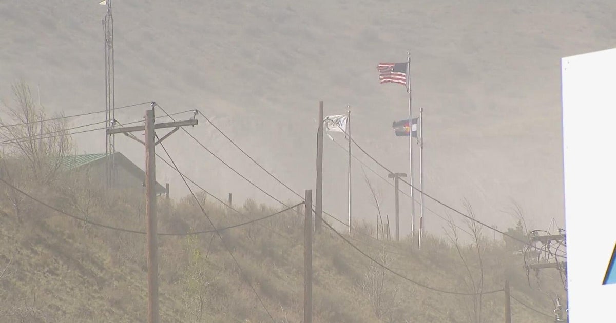
DROUGHT UPDATE…
The latest Drought Monitor was just issued today. There is not much change to the drought conditions in Texas. There is just a slight tick down in the Exceptional Drought numbers. Last week 72.32% of the state was in the Exceptional Drought Category. Now it is down to 71.30%. Not much of a decrease. And 95% of the state remains in a drought of some degree. Note how North Texas is still fairing much better than the rest of the state.
DRIESTEST PERIOD EVER FOR TEXAS…
Texas A&M released some climate information about the current drought and how it compares to past droughts. Below is a portion of the data released by researchers there.
"The months-long Texas drought is sapping the record books bone dry and is racking up dire statistics that have never been reached since reliable record-keeping was started 116 years ago, according to figures from Texas A&M University researchers.
Don Conlee, instructional associate professor of atmospheric sciences who, along with graduate student Brent McRoberts, also assists State Climatologist John Nielsen-Gammon with recordkeeping, confirms that the period from February through June was by far the driest on record with a statewide average of 4.26 inches of rain. The next driest occurred in 1917 with 6.45 inches.
Also setting records: March-June, driest on record; January-June, driest on record; December-June, driest on record; November-June, driest on record; and October-June, driest on record.
They note that official weather keeping began in 1895 in Texas.
Drought researchers, emergency managers and state and federal officials will convene in Austin on Thursday (July 7) for a special Southern U.S. Drought Impacts & Assessment Workshop.
As for June, it was most definitely time to crank up the AC unit: 2011 marked the hottest June ever in Texas with an average of 85.2 degrees, breaking the previous mark of 84.9 set in 1953.
"June was not only the warmest June in Texas history, it comes in as the fourth warmest month ever, which usually goes to a July or August time period," Conlee notes.
One stat sure to make Texans sweat: Even if the state receives an average of 2 inches of rain in July (the long-term average is 2.45 inches), it will already have had the driest August (2010) through July period ever.
Conlee says the Palmer Drought Severity Index (used by the National Climatic Data Center) is currently -6.37, officially making this the third worst drought on record. First place occurred in 1956 with a mark of -6.54, and second was in 1918 with a -6.41 reading.
"But the stats are through June, meaning this still has the potential to surpass one or both of the infamous past droughts to be the worst or second worst drought in Texas history," Conlee adds.
"The primary cause of the drought is the lingering La Nina in the Pacific, but we don't know for certain if climate change is affecting rainfall one way or the other. What we do know is that temperatures are a degree or two warmer with climate change so the drought is worse than it would otherwise be," says Nielsen-Gammon, whose position as state climatologist is in addition to his service as professor of atmospheric sciences at Texas A&M.
As for rainfall in the upcoming months, Conlee says the prospects are not that promising: the mid and long range forecasts are no better than an equal chance of above and below-normal precipitation, with many parts of the state having greater probability of below-normal.
"The saving grace could be the wildcard of a tropical storm or hurricane, although that rain could come at a high price," Conlee adds. "