Labor Day Rain Chances & Hermine
Another nice day in store for us. It'll be a little warmer than yesterday but the humidity will be lower than a typical summer day:
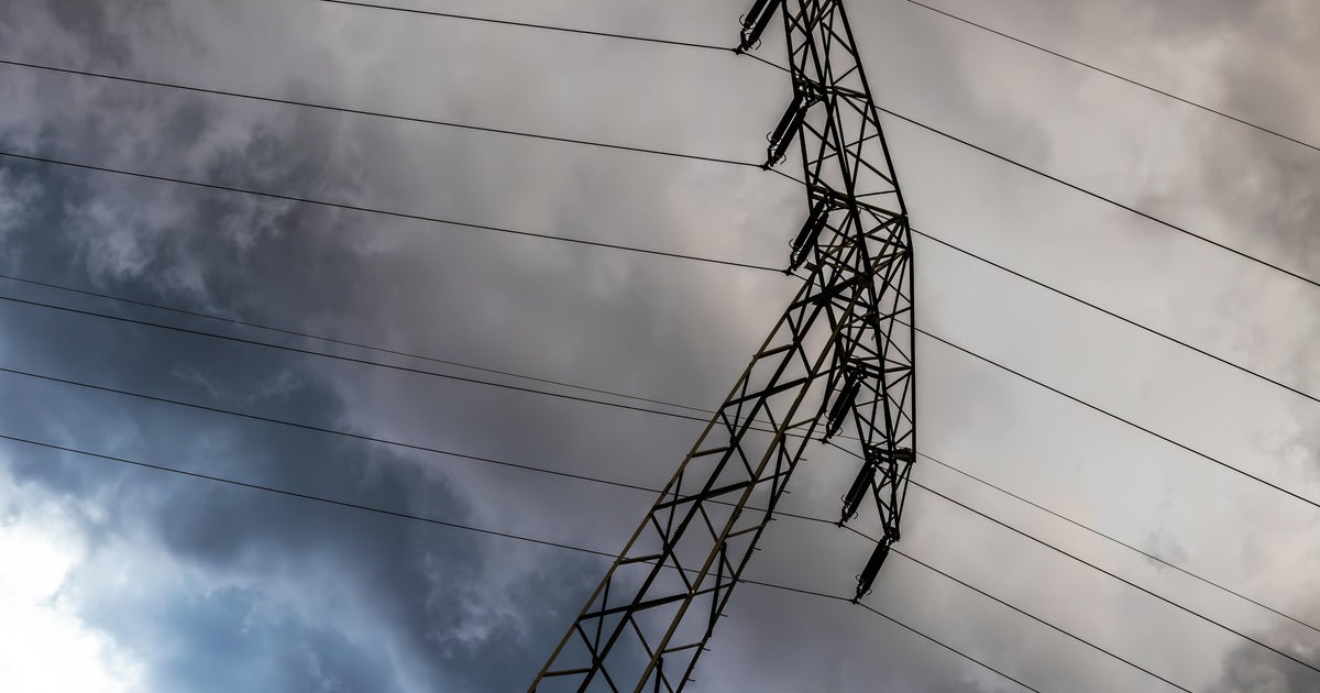
More on Labor Day in a moment but first let me show you the latest on Hermine. As I told you yesterday Hermine is no longer "tropical". As it moved off shore from Maryland it's characteristics changed. It will no longer have "rain bands" per se but instead have a broader look. It's wind field will expand as well. Regardless, it could reach hurricane-force winds again later today or tomorrow.
The storm's center is forecasted to linger in the same place today and tomorrow. This is going to produce windy conditions along the shoreline from Cape Cod down to Atlantic City. High waves will create localized flooding along the shore and erode the beach sands. Wave around the storm center will top out around 50 feet high, along the shore line they could reach 20 feet. Any change in its' forecasted path could bring significant damage to the shore so conditions are being closely monitored.
And now your local forecast. As mentioned above, not problems today. Tomorrow a south wind will quickly pump up the humidity and build in the cloud cover. By afternoon a few storms will develop. Right now I am putting the coverage at around 30% favoring our southern counties. Don't change you plans, just be ready to take cover if any of these storms get near your grill or boat:
Here is your hour by hour forecast for Labor Day:
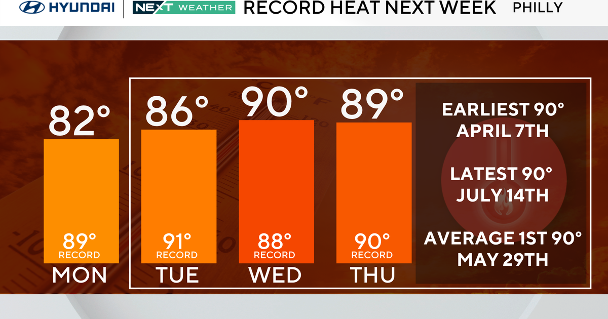
And here is your extended forecast. Another cold front is forecast to arrive by next weekend. It'll bring a temporary end to the summer-like heat we'll feel during the short work week: