June Winds Down with Temperatures Winding Up
Yet another warm, dry and breezy weekend in progress across north Texas. Highs tomorrow park in the same garage as the days of late: upper 90's under a sunny afternoon.
CLOUDS TONIGHT
We'll have clouds slip in the morning tomorrow from the south. They'll combine with a steady south wind to make for a comfortable morning with temperatures in the upper 70's. Then the clouds clear, the south winds pick up and temperatures climb to the upper 90's. Probably a degree hotter tomorrow than today but otherwise a duplicate.
HOT STREAK COMING
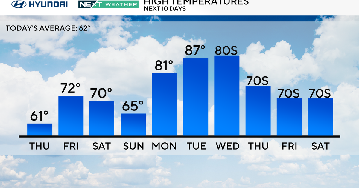
High pressure building in from the southwest is going to overtake the southern tier of the U.S. as it parks right over Texas. This will push temperatures up a few degrees so we'll reach into triple digit highs each day starting Monday or Tuesday and lasting at least to Friday. It'll be dry thru this period. It appears that every day in June save one will log an afternoon high above normal for this time of year. Perhaps hot is the new normal in Texas in the summer.
NEXT WEEKEND BIG RAINS SOUTH
A tropical system is headed toward south Texas by next weekend. This a rain that'll soak the parched Hill Country and points south but do little in the way of rain in these parts. It could pump some moisture into the midde levels and help fire off afternoon thunderstorms. Scattered rain in a drought is like a complete stranger handing you a cold Pearl in front of the stage at an outdoor Willie concert, your are thankful for what you get but wishing it'd be a little more. The ground is staying thirsty my friends. The Climate Prediction Center picks up on this system as it predicts the odds of above or below normal rainfall. The first map is for days 6-10, the second one for days 8-14. Notice that green shows up south in the second one.
