Isaac Latest
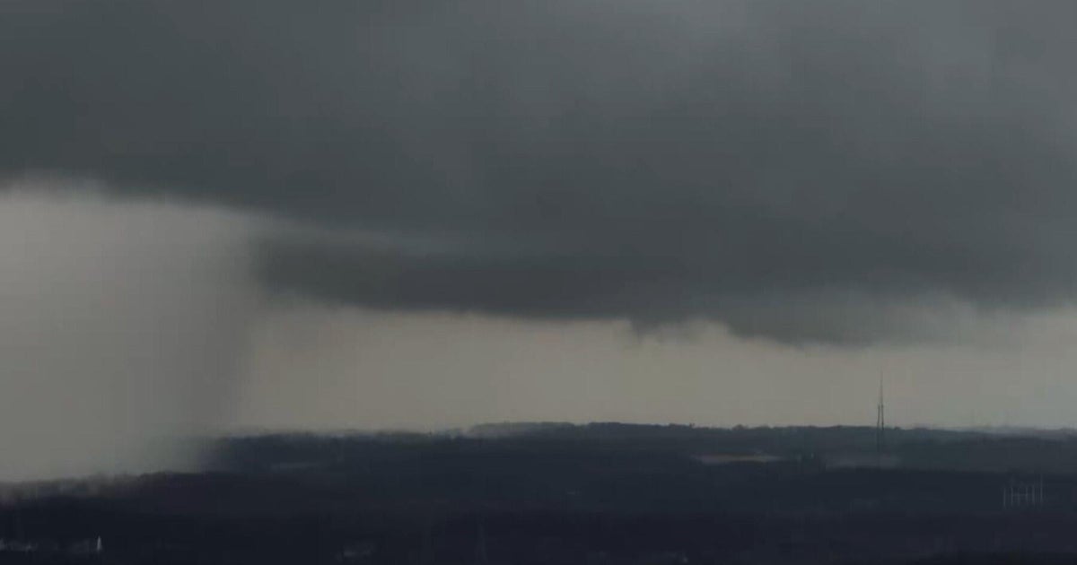
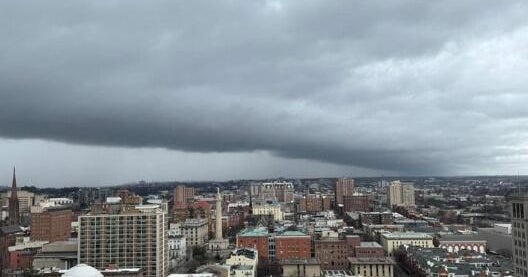
The computer models continue to drift the track consensus west though have certainly converged on a Louisiana landfall. It is having trouble this afternoon gaining strength, the forecast calls for winds to be in the 85-95mph (Cat.1) when it arrives tomorrow night into the Delta:
Seven years Katrina hit this same area. Here is the track of that storm, the costliest natural disaster in American history:
Katrina passed just to the east of downtown New Orleans heading directly north. Believe it or not, the storm could have been much more devastating. It was a Category Three hurricane when it passed over the city (it had been a Cat.5 the day before).
The center of Katrina was to the right of the city. On the east side of the circulation is the storm surge maximum, where sea water is being pushed by the offshore wind onto land. Katrina produced the biggest storm surge in American history, over 28ft at Pass Christian. A 20-mile stretch of coastline got hit with a devastating 20-25 foot surge, wiping out just about every building in its path.
As we watch the models continue to drift west the fear become that the eye of Isaac passes to the south of the city moving NW. This puts the storm surge right up the river channel but, more dangerously, right up Lake Borgne and into Lake Pontchartrain. This has always been one of the worst fears of city planners. Remember that large sections of the city are below sea level and below the level of Lake Pontchartrain.
There is a SLOSH model being run by the National Hurricane Center that tries to predict where the highest surge is forecasted to hit. The latest runs show a maximum surge of 4 meters (13ft) right in that "sweet spot", the angle of direction right into the weakest link in the New Orleans levee protection system.
Not only will water get piled into the Lake, a north or northeast wind would push that water south into the city. The pumps would be struggling to keep up with rainfall. They would be overwhelmed by the lake water.
Worse yet, the upper air pattern is starting to suggest that Isaac will slow down right as it comes onshore. High pressure over the Midwest could end of suppressing its northern momentum. Any Texan will tell you the kind of rain that falls with a tropical system that lingers. Just remember Tropical Storm Allison in 2001, it dropped 40" of rain over parts of Houston.
Larry Mowry will update you with the latest on Tropical Storm Isaac at 4pm. Join us then.