Humidity Is Up, Rain Is On The Way
Today will make four days-in-a-row of 90° weather. You probably didn't hear many complain about that heat. Most have enjoyed this "feel-of-fall" in the air that accompied the warm afternoons: cooler mornings and low humidity.
You'll likely notice a change in that humidity starting today. Dewpoints have been in the 40's since the weekend. Here are the dewpoints last night at 9pm, the low 50's in the metro area.
While you were sleeping the dewpoints creep up into the 60's this morning.
This afternoon highs will again be in the low 90's but it will feel warmer than that (and more like summer) because of the humidity. We'll again have a bit of a breezy by afternoon to help with that heat.
A cold front is sitting up in the midwest. It should be here by Thursday evening. Notice the rain and the cooler weather behind it. We'll get both when it gets here:
We'll have a mild overnight low in the low 70's on Thursday with an afternoon high getting to the upper 80's to around 90 in the metro. Clouds will gather and rain/storm chances show up by tomorrow evening.
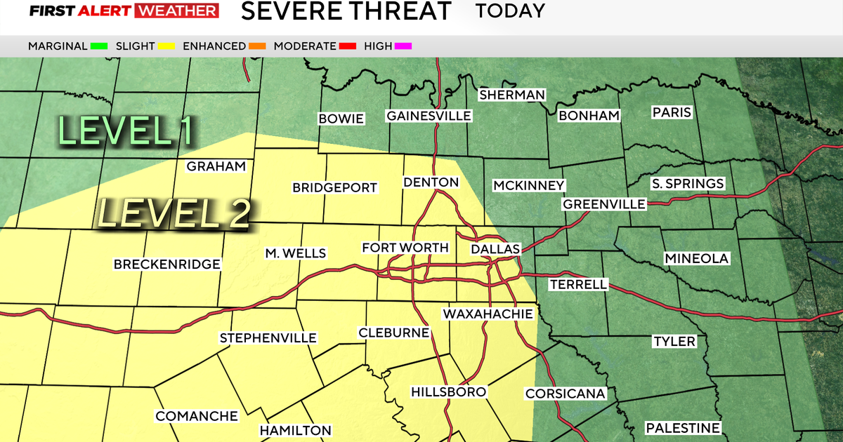
Rain chances for Friday? Best rain chances we've seen since the month started:
We keep rain in the forecast for Friday night football. It will be much cooler, afternoon highs on Friday will stay in the 70's in some of our NW counties. It will be in the low-80's in the metroplex under cloudy skies and occasional rain.
Rain chances taper down to around 20%-30% on Saturday with highs again in the low-80's. Sunday is looking much better with highs in the upper 80's with mostly sunny skies.