Heavy rain, some storms continue through the afternoon in North Texas
FORT WORTH, Texas (CBSDFW.COM) — We've seen a rainy, stormy start to our Wednesday in parts of North Texas. Some of the rain has been heavy, producing some ponding here and there.
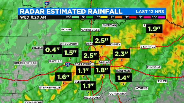
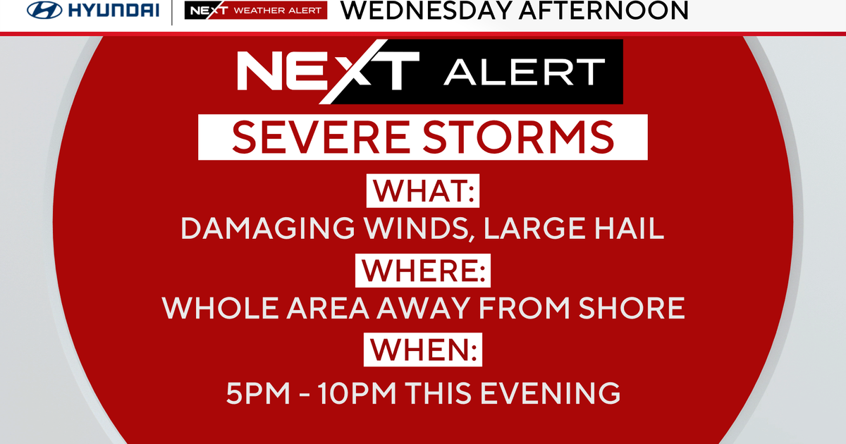
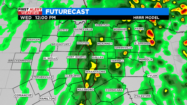
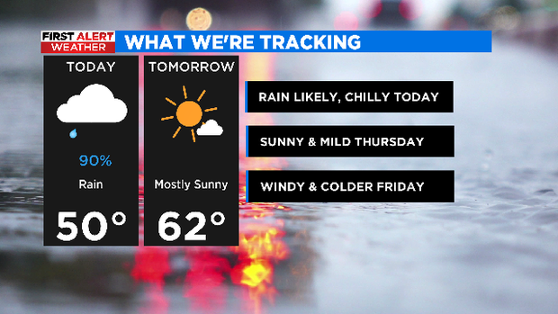
We'll likely have scattered rain and some thunderstorms in the region for the rest of the morning into at least the early to mid-afternoon.

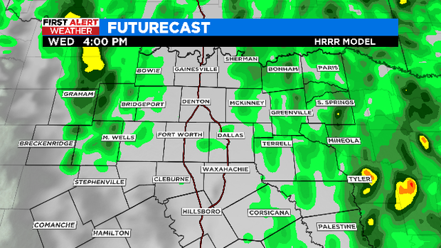
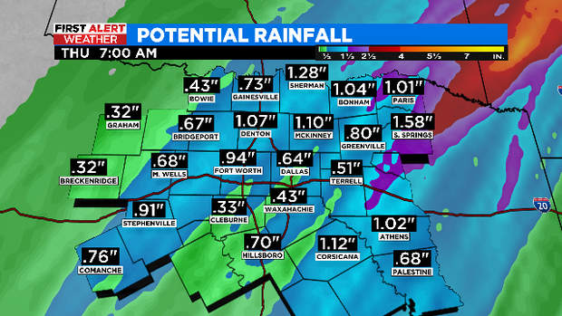
By mid to late afternoon, though, we'll see the rain moving east and our sky conditions slowly, slowly improving from west to east.
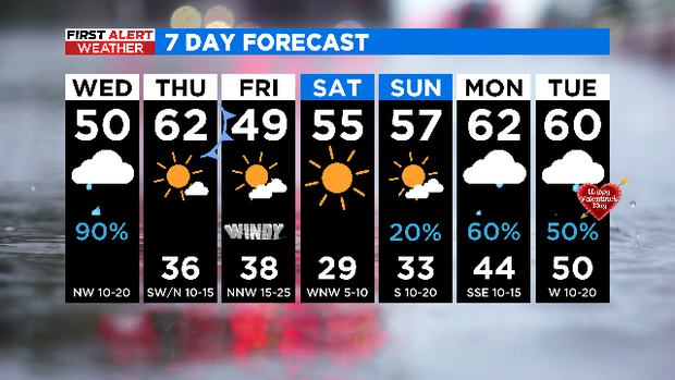
High temperatures will be in the upper 40s and lower 50s. Tonight, lows will drop into the mid 30s. We'll likely have areas of patchy fog tonight into Thursday morning.
Thursday, we'll wake up to patchy fog and temperatures in the mid 30s. Highs will be in the low 60s, and we're tracking sunshine.
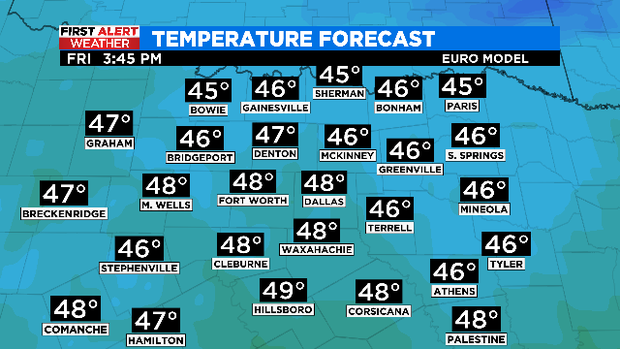
A strong cold front crosses the area Thursday, ushering in some more cold weather for Friday.
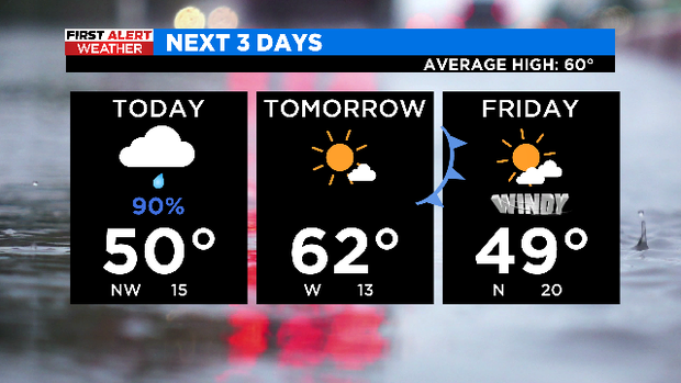
In fact, highs will be in the upper 40s Friday and it will be windy. Winds will blow in from the northwest between 15 and 25 mph, with gusts up to 30-35 mph. We'll see partly cloudy skies and most areas should be dry.
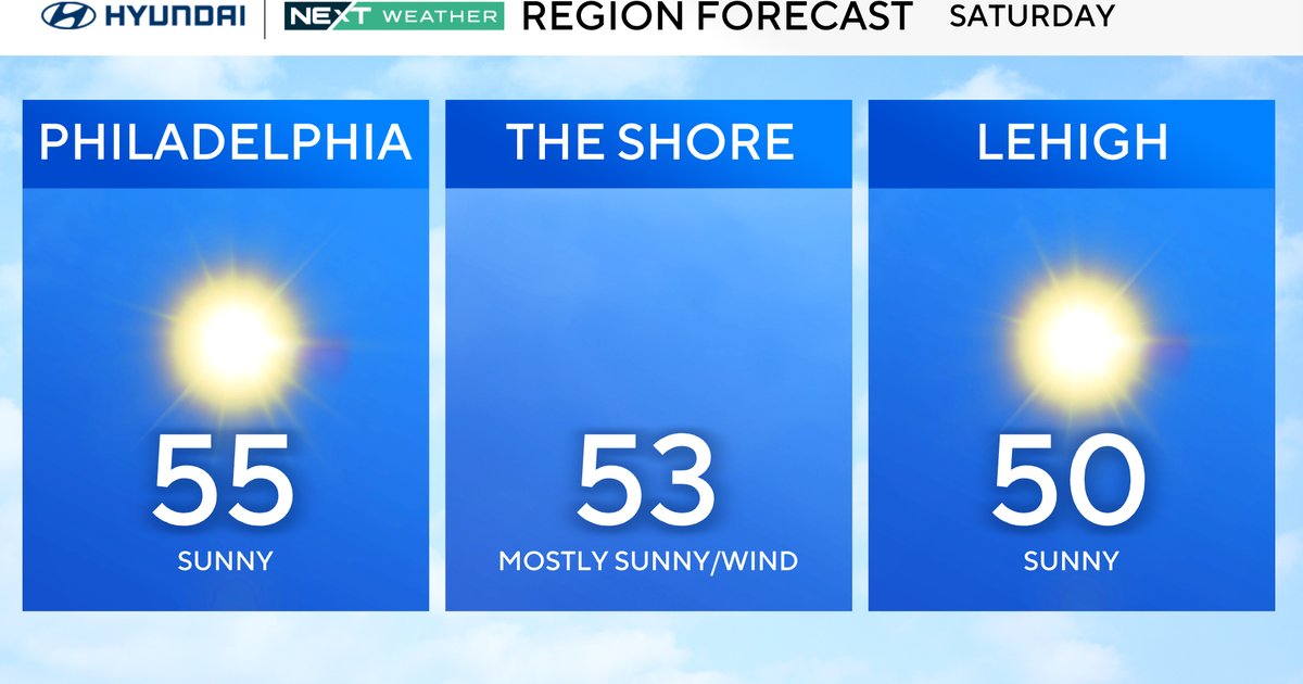
This weekend, we'll see highs in the 50s. Most of the weekend will be dry, but late Sunday into Monday and Tuesday, we'll see increasing showers.
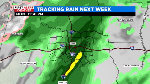
Yes indeed! We'll see wet weather for Valentine's Day next Tuesday.