Heat and More Heat
Yesterday's high of 95° ties for the coolest day we've had over the last two weeks. Gulp. Today? Just a little warmer and a little more humid. There'll be air quality issues by afternoon thanks in part to all this sunshine and modest winds:
The feel-like temperature this afternoon won't be so bad (yesterday it stayed well below 100°). We'll watch that number rise over the holiday weekend:
You're Fourth of July Weekend forecast calls for temperatures to flirt with the 100° mark both Sunday and Monday. Sunday it could easily hit that mark for the first time this season, exactly 300 days since the last 100 plus day at DFW:
There is a slight chance for some much-needed rain over the 3-day holiday. Sunday night into Monday morning a surface low might swing over Oklahoma. An upper-level high pressure system just off to our east will help drive this system across the northern half of our viewing area:
As meager of a rain chance this produces (10% for the Metroplex) it qualifies as the best rain chance in the first week of July. Forecast models continue to show very dry conditions over the next 7 day over Texas and parts of the deep south:
The last half of June introduced our first heat wave of the season. It looks like the heat is in full bloom for the majority of July. The forecast is for above-normal highs for all of Texas. We've posted a daytime high above normal for 18 days in a row. Hard to imagine we could have 30 more days of that!
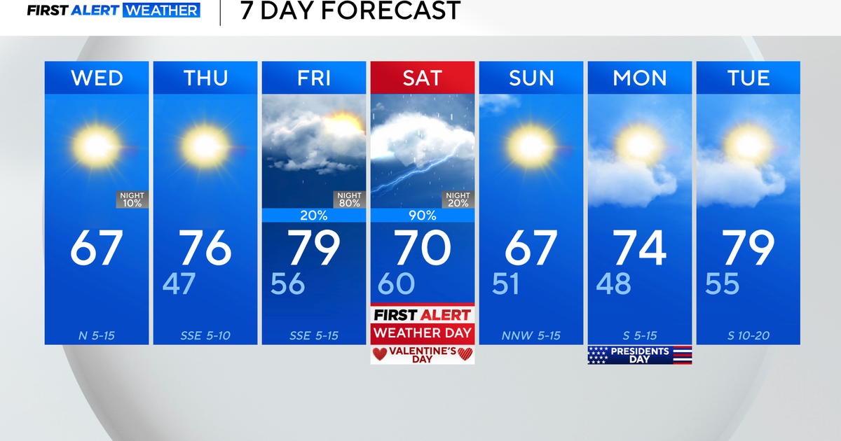
Here is your extended forecast. If we don't hit 100° over the holiday we'll likely do it on Tuesday or Wednesday of next week.
