FORECAST LOOKING MORE AND MORE INTERESTING FOR EARLY NEXT WEEK
DREARY FORECAST FOR FRIDAY
A cold front that moved through most of North Texas overnight is stalled out just to the east & southeast of the DFW Metroplex. Temperatures over most of the Metroplex are in the 40s and should stay there for most of the day. Areas east of the Metroplex should rise into the upper 50s and 60s. The front should begin to slide back to the northwest during the evening in response to a strengthening low pressure in the Desert Southwest. As a result, temps should actually start rising into the 50s during the evening and overnight in North Texas.
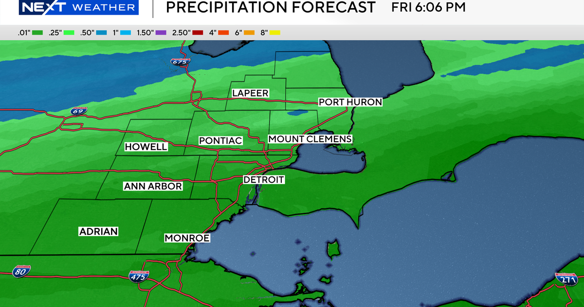
Light rain continues over the southern half of North Texas as of late morning. This rain is forming as warmer air about 2,000 ft above moves up and over the cooler, damp air here at the surface. The best lift and rain producing conditions by the afternoon will shift to our western counties, but rainfall amounts will continue on the lighter side.
MORE RAIN LATE SATURDAY
Rain should come to an end for most all of North Texas overnight tonight into Saturday morning. It will be a warmer but still humid day as a south wind breezes across our area up to 20-25 mph. Mostly cloudy skies will allow temps to climb into the upper 60s to near 70° by afternoon. The latest model information is showing that an upper level disturbance triggering rain will not arrive here until late in the day. It's looking more and more like most of North Texas will stay rain-free until later in the evening.
TEMPS PLUNGE ON A WET SUNDAY
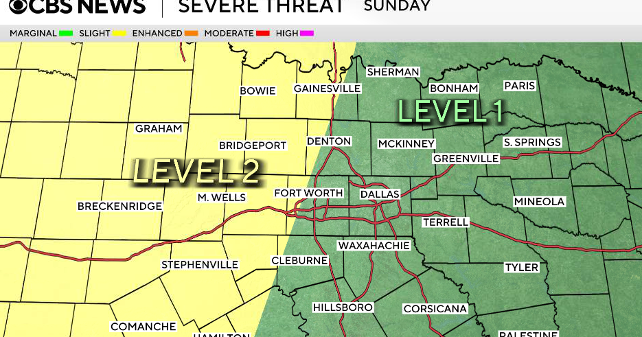
An upper disturbance will push a cold front through North Texas Saturday night into Sunday morning. A solid area of rain will accompany the front Saturday night, but we're not expecting severe weather at all. Temperatures on Sunday morning will start out in the upper 40s and then fall to near 40° by afternoon. We expect to see a fairly widespread area of rain to develop behind the front on Sunday…so on and off rainfall throughout the day. Rainfall amounts could approach 1" in some locations…good news for our parched soil. Not good news for runners at the Whiterock in Dallas who will battle cold, windy and wet conditions.
RAIN AND THE INFAMOUS WINTRY MIX ON MONDAY
The latest information is also showing widespread rain continuing on Monday with temperatures hovering in the 30s. The temperature profile looks to support rain mixed w/ a little sleet, but also a good deal of freezing rain is possible. Freezing rain occurs when there too much warm air aloft so that any sleet or snow melts on the way down, but then the subsequent rain freezes upon contact of the ground where it would be at or below 32°. It is looking like more of a snow or snow/sleet combo for our northern & western counties on Monday. And if temperatures continue to come in colder, we could have more snow over a greater area of North Texas. It COULD be a mess on the roadways on Monday…it's still a bit early to know for sure, but the more information that comes out, confidence is rising in a wintry mix for Monday. Stay tuned!
