Forecast Discussion for Tuesday, June 14th
SMALL RAIN CHANCES IN THE FORECAST…
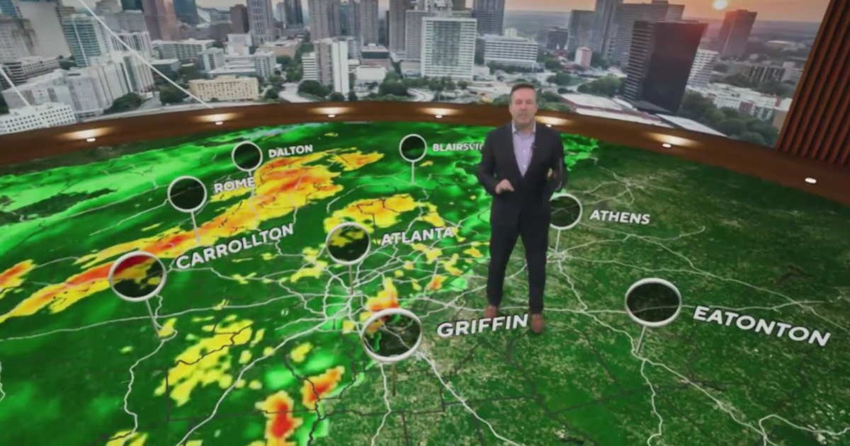
There is a very weak upper level disturbance moving over the Panhandle and Oklahoma this afternoon. This has triggered a few showers mainly north of the Red River, but a few showers have managed to pop up in parts of Clay and Montague County about 70 miles northwest of Fort Worth. There will continue to be a few spotty showers and maybe even a thunderstorm in areas north and west of the metroplex this afternoon and this evening. Coverage will be very low less than 10%, but at least there is a little bit of rain showing up on the radar.
STAYING HOT…
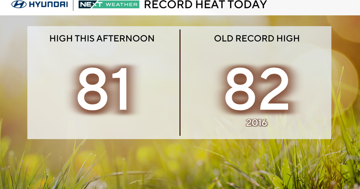
As of 3pm on Tuesday afternoon DFW high temperature has been 97 degrees. But in Fort Worth it is 100 degrees and 97 in Dallas. We still have a pretty good shot of getting our second 100 degree day in a row.
WEAK COLD FRONT NEARS…
A cold front that is currently over the Panhandle and western Oklahoma will slowly slide southward and try to make it to the Red River tomorrow. With this front a little closer to us tomorrow and the upper level ridge shifting ever so slightly southwestward, I will put in a 20% chance of a shower or thunderstorm. Best chance would be up along the Red River, but there is an outside chance of seeing a shower in the metroplex. Temperatures, thanks to a little bit of cloud cover and cooler temperatures about 5,000 feet above us, will be around 97 degrees in the afternoon on Wednesday.
UPPER LEVEL RIDGE RETURNS…
After a brief journey to our southwest tomorrow and Thursday, the upper level ridge moves right back into place on Friday and the weekend. That means temperatures will climb back to current levels. We will see highs Friday, Saturday and Sunday between 99 and 102. Sunny skies will prevail but there will be a breeze this weekend with gusts to 25 mph on Sat and Sun.
PATTERN CHANGE…
There are indications that the upper level pattern will change by the end of next week and enter a phase that would at least bring us some rain chances. The upper level ridge will shift to the east and an upper level trough of low pressure will develop in the west. This would allow for more upper level disturbances to pass over North Texas. This would give us some rain prospects and some slightly cooler temperatures. We will see how that plays out.
100 DEGREE DAYS…
Since yesterday was the first 100 degree day of the year, Meteorologist Garry Seith went back and tabulated the 100 degree days we have seen during the summer in each of the past 5 years. Here is a look at those numbers. As you can see August of last year had 22 one-hundred degree days. Whereas, 2007 was a very cool summer with only 5 one-hundred degree days. That summer saw a lot of rain, hence the cooler temperatures.
