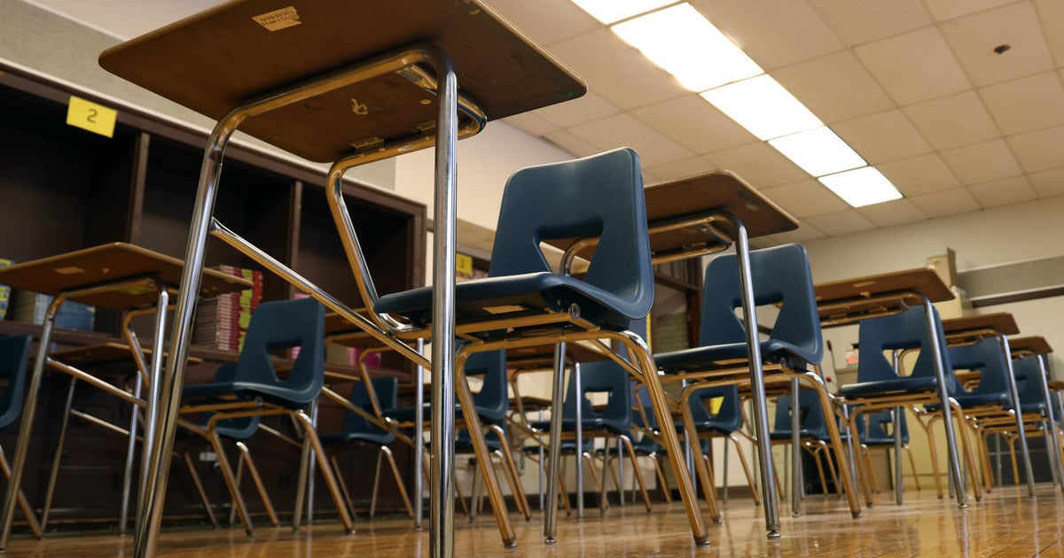
First Lesson Of this School Year: How to Handle Heat
-HOT START TO THE SCHOOL YEAR: HEAT ADVISORY IN EFFECT
-IT'LL BE HURRICANE IRENE BY TOMORROW
-ADDING TO THE RECORD BOOKS OF HEAT WAVE '11
Today we had enough rain and cloud cover in our eastern counties to keep temperatures down a bit. A northeast wind and higher humidity kept the afternoon high at 102°. That higher humidity however kept the "feel like" temperatures around 105 through the afternoon.
We had another record warm low this morning, 84°. We'll likely tie or break another one tomorrow morning.
Speaking of tomorrow morning summer ends in the mind of many young people across north Texas with the start of school. The summer WEATHER continues however. The morning temperatures will be very warm, in the low 80's and humid. We are forecasting a high of 104° with a heat index getting close to 108°. This weather has been with us most of the summer; we are expecting for it stay with us at least to the end of the month.
There is very little in rain chances, not to say zero but chances mostly in our eastern third from Greenville to Kaufman to Corsicana and to the east. This is the story for tomorrow afternoon and evening as well as Tuesday. Then the chances taper off until we get to Thursday or Friday. They peak on Sunday at a mere 20% but at least this includes the metro area.
Tropical Storm Irene has 60mph winds and will move over Puerto Rico later tonight and over Dominican Republic tomorrow. Interaction with land keeps Irene from cranking up to major hurricane status. The forecast is currently for it to come on shore on Thursday in southern Florida as a category one hurricane with 85mph winds or so. This will unfold as a big weather story as you can imagine as it draws close to a U.S. landfall.
The effect of this hurricane is minimal for north Texas. It should help deepen the eastern trough enough to put us in some cooler air with better rain chances; this would be Sunday or Monday for us. The forecast models don't really buy into the idea as much as we would think; I'm still forecasting highs in the upper 90's by Sunday and Monday with some meager rain chances. It looks like the start of September has at least a chance of being a little cooler than the weather of late.
Hundred degree days continue this week, by Tuesday we'll be second (57) on the list for most 100 degree days racked up in one year. Not much of a chance we'll surpass the all time record (69), we are running out of time going by the season clock. That said it looks like we'll at least snug up right next to it.