Cold Front Moves In
We had a dramatic drop in temperatures in the early morning hours as a strong cold front swept through north Texas. Brief heavy rain was followed by gusty northwest winds as temperatures dropped about 20° with the frontal passage. You can see how it was in the 70's in the middle of the night in the metro area. By morning drive time it was in the mid-50's.
We'll spend the rest of the day in the 50's with a brisk northwest wind making it feel even colder. We finally get to see the sun again after disappearing behind some high clouds Sunday afternoon:
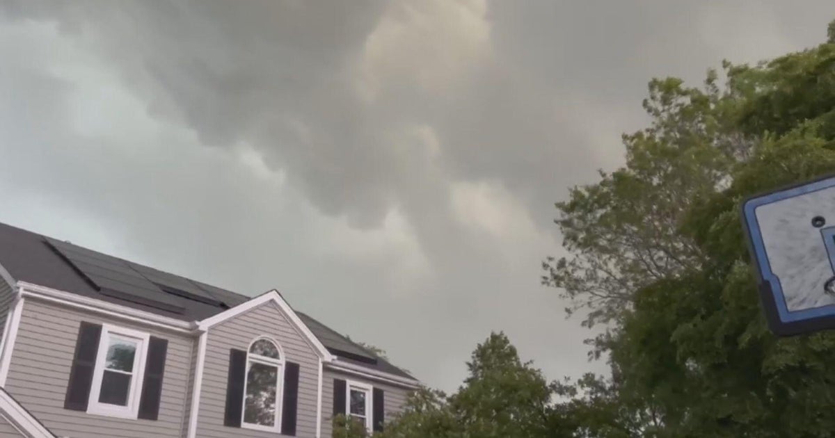
We didn't have any severe weather with the morning rain, amounts across the metro area were between .25" and .40". It fell quickly right when the morning traffic was starting to crank up, ponding on the roadways created a slew of problems.
It'll quickly dry out with these strong winds. Highs this afternoon in mid-50's:
We are setting up for a very cold night, coldest so far this season in fact. We have frost/freeze warnings in Wichita Falls and just across the Red River:
For north Texas lows will be in the upper 30's in many locations just west and north of the metro area. Winds will stay out of the north 5-10 mph:
Highs tomorrow will be in the low 60's with ample sunshine and less wind.
We have some great weather heading into the weekend; dry weather and highs in the low 70's:

