Chance of Storms Again
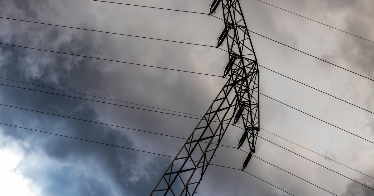
The NWS is saying there was one tornado just west of Possum Kingdom Lake that did not do any damage as it was in an open area. All other damage from last night storms can be called straight line winds.
THIS EVENINGS STORM SETUP…
There are a couple of boundaries that are laying around North Texas. The cold front is draped over our northwestern counties. An outflow boundary is over our far southeastern counties near Palestine. There is also a weak trough that is right over the metroplex. All three of these boundaries could be the focus point for more thunderstorms this evening. The latest forecast guidance is suggesting that the outflow boundary to our south and areas south of the trough over the metroplex will be favored area for storms. This would mean the most numerous storms will be just south of the DFW metroplex. But a few storms will be possible in the metroplex this evening.
Overnight, storms that develop should shift east and south away from Dallas/Fort Worth.
HOT AND HUMID…
The cold front that is stalled over the area will still be lingering tomorrow so with the front nearby, we will continue with a few isolated showers and thunderstorms in the afternoon and evening. Coverage should be pretty low at 20%. Temperatures though will warm into the mid 90s with pretty high humidity levels.
HOT AND DRY INTO THE WEEKEND…
The big upper level high will reestablish itself over Texas and that means more heat and dry weather. Temperatures will climb into the 100 degree range on Saturday and Sunday.