A bitterly cold night ahead as arctic air settles in over in North Texas
NORTH TEXAS - The First Alert Weather team has issued weather alerts for today, Monday and Tuesday due to dangerous cold and wintry precipitation headed our way.
RELATED STORY: Gov. Abbott discusses preparations for incoming winter weather
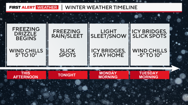
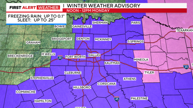
A winter weather advisory goes into effect at noon and continues until noon Monday as a disturbance brings freezing rain and sleet to parts of North Texas. The precipitation is expected to be light with ice accumulations up 0.1" and sleet accumulations up to 0.25". Be prepared for slick spots on the roads and icy conditions on bridges and overpasses.
RELATED STORY: TxDOT crews pretreating North Texas highways ahead of arctic blast
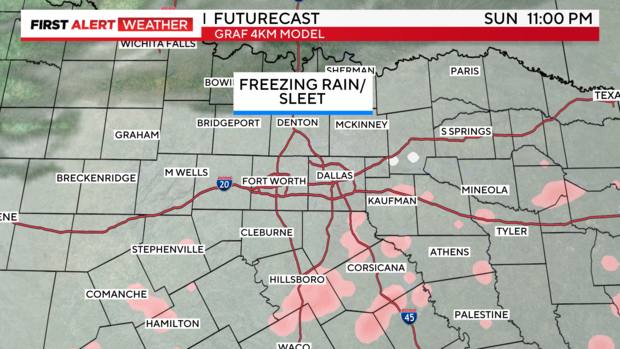
The disturbance is already pushing cloud cover into the area and producing snow in Oklahoma. Freezing drizzle is possible starting early afternoon turning into scattered areas of freezing rain heading into the overnight hours.
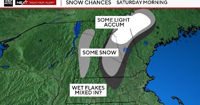
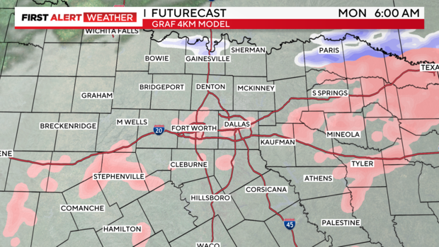
Freezing rain will mix with and transition to sleet early Monday morning, indicated by the pink areas with snow along the Red River. Precipitation will peak early Monday morning before clearing west to east by the early afternoon hours. Even though accumulations will be light, please stay off the roads if possible as slick spots and icy conditions will develop.
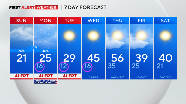
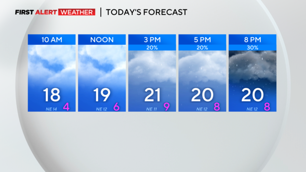
Today's cloud cover mixed with arctic air at the surface will keep temperatures from warming very much, topping out near 20 degrees. Breezy northerly winds will keep wind chills in the single digits for most of the day.
RELATED STORY: Preparing your home for the Arctic blast coming through North Texas
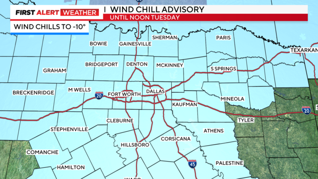
A Wind Chill Advisory is in effect until noon Tuesday for dangerously cold wind chills to -10 in the morning hours. Please limit your time outdoors and cover any exposed skin if you go outside.
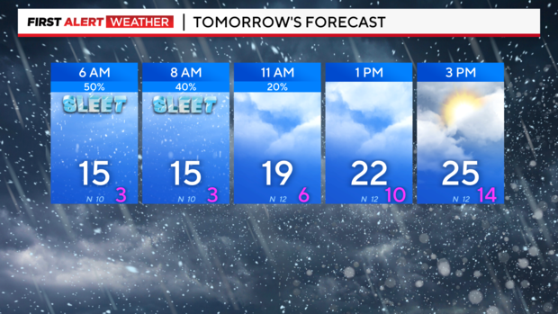
Monday morning starts off with temperatures in the teens and wind chills near zero. We warm up a little more than today with highs in the mid 20s and partly sunny skies by the afternoon. Keep in mind the northerly breeze will keep wind chills in the 10s! If the sunshine leads to any melting Monday afternoon it will refreeze overnight.
RELATED STORY: Will the Texas grid hold up in the freeze? Experts give their confidence scores
Another frigid morning Wednesday with temperatures in the teens but we finally make it into the 40s for the afternoon. Thursday is looking great and will be the warmest day of the week as highs climb into the mid 50s. The warmup is brief with another cold front Thursday night making for a cold end to the week.