Elevated Fire Danger and when Rain Chances Return to North Texas in Part Because of a Hurricane
ELEVATED FIRE THREAT...
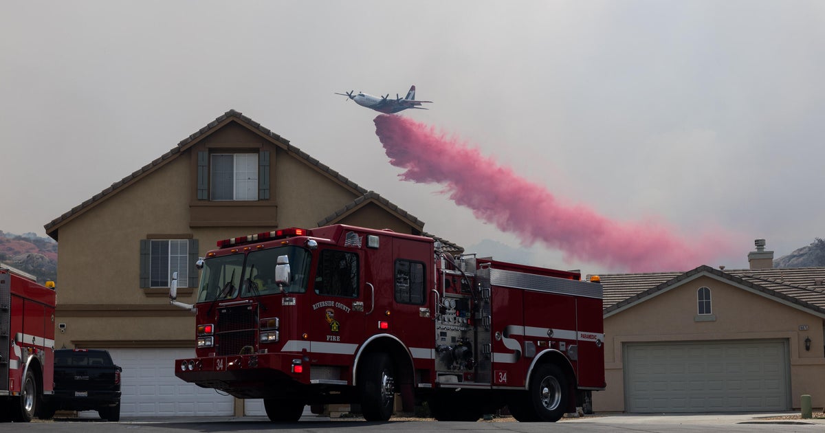
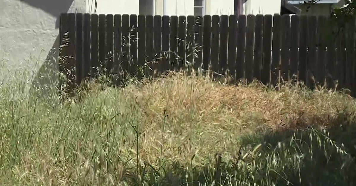
This afternoon there is an elevated fire threat thanks to breezy south winds and low relative humidity. The ground is very dry from a lack of rain this month which has made vegetation very dry. The areas shaded in orange are experiencing the strongest south winds and driest air. Winds have been gusting to 20 mph and Relative Humidity is in the 20 to 30% range.
TOMORROW the fire threat remains high as winds get even stronger tomorrow. Winds will gusts to 35 or 40 mph with Relative Humidity in the 20 to 30% range.
PRECIPITATION UPDATE...
Rainfall this September has been very sparse. So far for the month we have seen only .22" of rain. We are still running a small surplus for the year, but that is vanishing as our lack of rain continues. I have pulled out the 18.04" total because that is the amount of rain that fell in the first 4 months of the year. So since May 1, we have seen only 8.67"!
POLLEN UPDATE...
Here is the pollen update for today, Monday, September 24.
NEXT RAIN CHANCE... THANKS TO HURRICANE MIRIAM...
Looks like we will have some rain chances arrive on Friday into Saturday. The extent of the rain coverage will partial depend on what happens with Hurricane Miriam in the Eastern Pacific Ocean. Miriam will be heading toward the Baja Peninsula the next few days. One of our forecast models breaks a piece off Miriam and sends it into Texas at the same time an upper level disturbance over Utah arrives. This would happen on Friday into Saturday. If this were to work out properly, we would see a high potential for rain on Saturday. But is always the case this time of year, not all models agree on this happening. One model takes the energy that was supposed to go to Texas and lingers it back over California, lessening our rain chances for Saturday. Either way it looks like we will have some rain chances on Friday and Saturday, but the extent of the rain will depend on the upper level pattern.
HERE'S A LOOK AT MIRIAM AND THE EVOLUTION OF THE UPPER LEVEL WINDS...
FORECAST:
TONIGHT: Mostly clear and warm. Low of 72. S 10-20 mph
TOMORROW: Mostly sunny, warm and windy. Elevated Fire Threat. High 92. S 25-35 mph
TOMORROW NIGHT: Mostly clear. Low of 72. S 10-20 mph
WEDNESDAY: Mostly sunny. High of 91. S 15-25 mph
THURSDAY: Partly sunny. Low of 72. High of 91. S 15-25 mph
FRIDAY: Partly sunny, 20% chance of showers and thunderstorms. Low of 71. High of 88. SE 5-10 mph
SATURDAY: Mostly cloudy. 30% to 40% Chance of showers and thunderstorms. Low of 68. High of 85. E 5-10 mph
SUNDAY: Partly cloudy. 20% rain chance. Low of 65. High of 87. E 5-10 mph