Breezy Night Will Blow In The New Year
INCREDIBLE DAY, WINDY NIGHT
The last day of December has turned into the warmest day of the month. We close the year of 2011, a year of record heat and drought, with an absolutely off-the-charts perfect winter day. Highs reached into the low-to-mid 70's under sunny skies and a brisk south wind. The record for this date by the way is a balmy 85° so not a historical day by any means.
NEW YEARS EVE NIGHT: WINDY
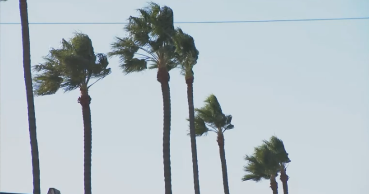
A cold front is currently entering the Texas panhandle. It will quickly close in on north Texas as we fall into night. It will arrive just before the New Year bringing cooler temperatures carried in on a brisk north wind. Winds turn from the south to the northwest, you'll feel the front coming through if outside. Winds will gust to around 25mph and hold steady around 20mph for a couple of hours. Temperatures will drop to the low-50's by the midnight hour but those winds will make it feel much cooler. Jackets and coats will be needed, roads will be dry. There is not much chance for rain in the next week in fact. Here is the HPC showing the predicted rain amounts for the state of Texas for the next five days, basically zip:
NEW YEARS DAY
We'll be more seasonable tomorrow to start 2012 thanks to the cold front. Highs will stay in the mid-50's for the afternoon with mostly sunny skies. Again, no rain.
MONDAY
School is still out for most and this is the official holiday for the New Year. Highs will barely hit 50 degrees with mostly sunny skies and a steady north wind at 10-20mph.
Here is the rest of the forecast for the "THE HOLIDAY IS OVER: EVERYONE BACK TO WORK AND SCHOOL" short week:
Tuesday: Lows start in the upper 20's. Sunny, 54°
Wednesday: Sunny, around 60°
Thursday: Clouds Late, Windy, High upper 60's
Friday: Mostly Cloudy, Breezy, High upper 60's
A front arrives on Saturday, it will clear out the skies but keep highs in the low 50's.
