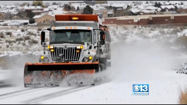
No More Snow As Cold Temps Continue
After a great snow storm that smacked the Sierra, the cold air is back with a vengeance in the valley.
Watch CBS News
After a great snow storm that smacked the Sierra, the cold air is back with a vengeance in the valley.

Record low temperatures were set once again Friday, as the freezing temperatures continue into the weekend.

A Hard Freeze Warning goes into effect Wednesday night as temperatures drop well below freezing.

Cold air is set to take over Northern California this week, with temperatures dropping well below freezing in many locations.

Temperatures in Sacramento approached record warmth Saturday, but very cold air will take hold of the state by the middle of the week.

Whether by plane, train or automobile -- travel weather over the Thanksgiving holiday weekend is looking good across Northern California.
A large storm already blamed for at least eight deaths in the West slogged through Oklahoma, Texas, New Mexico and other parts of the Southwest on Sunday, leading to hundreds of flight cancellations as it slowly churned east ahead of Thanksgiving.

Rain showers will be moving south out of our area through 10 am. The activity on the radar is widely scattered, but there are small pockets where brief, heavy rain may fall, from Sacramento south into Stockton and Modesto through 10 a.m.

After a dry and mild weekend in Northern California, major weather changes are on the way.

Sunshine and nearly normal temperatures were found throughout Northern California Saturday, but significant changes are on the way.

It was a wonderful end to the weekend with sunshine and above normal temperatures throughout the Sacramento Valley Sunday.

With valley temperatures a few degrees above normal Saturday, except the same pleasant weather to finish the weekend.

Hang on to your hats, the windy conditions will continue heading into the workweek.

It's a mild start to the weekend, but windy conditions and cooler temperatures are headed into the region.

Sunshine and pleasant temperatures are ahead, but the breezy weather will pick up at times this coming workweek.

Expect a cooler and breezier Wednesday as a low pressure system rolls over the region and gives some higher elevations a taste of winter.

Gusty winds will continue to rush through the valley and delta through late Friday afternoon, leaving a wind advisory and Red Flag Warning in effect most of the day.

Wild winds are expected to be whipping across the valley throughout Thursday and Friday.

The first week of fall has brought many weather changes to the region, including below normal temperatures and windy conditions.

As the summer season officially winds down, expect to see much cooler weather heading into the weekend, and possible showers.

Great weather is ahead, but major changes are on tap for the end of the week.

Cool temperatures will stay in the forecast for the region as a chance of rain enters the picture later in the week.

Hot temperatures hit the region over the weekend as more 100 degree days are on tap for the workweek.

Fall is just around the corner, but temperatures will feel more like the middle of summer for the next several days.

Cooler temperatures and clouds have moved into Northern California, but the heat is sure to return soon.