Snow showers begin to taper off in western Pennsylvania, wind chills below zero | First Alert Weather
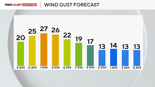
Most areas picked up 4–7 inches of snow yesterday and this morning, with some higher elevations seeing 8 inches or more. Snow showers are tapering off, but much colder air is moving in behind the system. Lows will drop into the single digits, with wind chills below zero and gusts around 15–20 mph.
WEATHER LINKS:
Current Conditions | School Closings & Delays | Submit Your Weather Photos
Highs today will only reach the teens, but it will feel like the single digits or below zero throughout the day. Please bundle up if children are outside playing in the snow. Remember - if it's too cold for you, it's also too cold for your pets!

The Winter Storm Warning expires at 1 p.m. A Winter Weather Advisory remains in effect for areas north of I-80 and the Laurel Highlands until 7 a.m. Monday. Lake-effect snow bands could bring an additional 2–4 inches in those areas.
Monday will remain cold, with lows in the teens and highs in the low 20s under mostly cloudy skies. Tuesday should be the last very cold morning for a while.
For the rest of the week, temperatures trend seasonable to above normal, with highs in the 40s. Rain arrives Thursday with highs near 50. On Friday, temperatures will fall from the 50s into the 30s, with rain switching to snow.
At this time, it is not looking like a white Christmas, with above-normal temperatures returning around the holiday!

Stay up to date with the KDKA Mobile App – which you can download here!