Snow and sub-zero temperatures are in the Pittsburgh area's forecast this weekend. Here's the latest timing.
A major winter storm is forecast to hit the Pittsburgh area this weekend, with snow and bitterly cold air possibly for the region.
An Arctic cold front is set to arrive Thursday into Friday, bringing mainly dry conditions with falling temperatures. However, there is increasing potential for a winter storm Sunday into Monday for the Pittsburgh area.
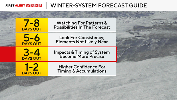
Here's the latest on the winter storm's timing several days out, as this is a fluid setup with more minor adjustments possible in the coming days.
Timing for Wednesday evening into Thursday
A weak upper-level disturbance continues to traverse the Great Lakes and Upper Ohio Valley. Southerly winds at the surface allow warmer air to move in, with temperatures in most areas south of Interstate 80 and west of the Laurel Highlands to warm above freezing.
The initial band of rain and snow will continue to move east on Wednesday evening, with more scattered cells of rain and snow developing between 9 p.m. and 1 a.m. onThursday. Additional accumulations are expected to remain light, with 1 to 2 inches possible near and north of Interstate 80 and in the Laurel Highlands and Ridges.
On Thursday, some lingering flurries and snow showers are possible from roughly State Route 422 north to Interstate 80 as cold air advection begins to increase atop Lake Erie, coupled with a weak wave in the atmosphere.
Once this pulls away, skies will gradually clear on Thursday afternoon. The day's high temperature will occur at midnight, with temperatures slowly dropping throughout the day. The low temperature on Thursday will occur just before midnight.
Timing for Friday into Saturday
This week's second Arctic cold front will arrive on Friday morning, which means high temperatures will occur early in the day.
Temperatures will steadily drop to near 0 degrees Farnhite late Friday night, with breezy conditions and a few flurries or light snow showers accompanying the frontal passage. It is increasingly likely that many will experience sub-zero temperatures on Saturday morning as high pressure moves in with light winds.
Through the day, conditions will be dry and trend partly cloudy as mid and high-level clouds move in ahead of our next storm system.
Timing for Sunday into Monday
The biggest adjustments to this weekend's forecast come late Saturday night through Monday morning.
Within the last 24 hours, deterministic models, which offer a single output and model ensemble means, have trended toward a stronger system and one that tracks farther north. This is attributed to two branches of the jet stream merging, and the dip in the jet stream elongating more, which allows for stronger rising motion ahead of the system.
A trend in the system farther north would support a northward trend in the heaviest snow potential as well.
As of now, the highest probabilities for significant snow are maxed out generally from Interstate 70 and points south into northern West Virginia and northwest Maryland, with probabilities tapering off the farther north into KDKA's forecast area.
If the northward trend continues even more, the region may see a warm wedge of air up the western sides of the Appalachians, resulting in possibly some freezing rain or mixed precipitation. The chance of that occurring is low as of Wednesday evening, but it's something meteorologists don't want to write off.
The heaviest snow will end early Monday, with lingering snow showers as the trough moves through the region. Temperatures are likely to remain below normal through much of next week.


