Pittsburgh Weather: Strong Storms To Bring Large Hail, Gusty Winds To Area
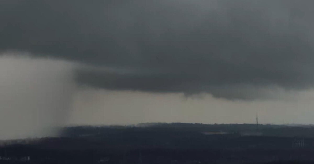
PITTSBURGH (KDKA) -- Strong storms will be possible as a cold front passes by this afternoon.
Often times, we mention how important daytime heating is to the development of storms, and today will be no different.
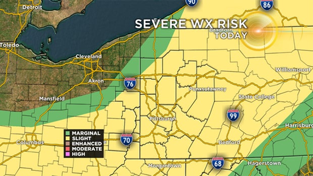
The National Weather Service has issued a Severe Thunderstorm Watch for western Pennsylvania, as well as parts of Ohio and West Virginia until 8 p.m.
A severe thunderstorm watch has been issued for parts of MD, NY, OH, PA, WV until 8 PM EDT pic.twitter.com/eVREelKLOw
— NWS Pittsburgh (@NWSPittsburgh) August 8, 2019
It's not as much the daytime heating as the change in temperature with height that we focus on when it comes to forecasting severe weather. KDKA Meteorologist Ron Smiley says this change of temperature with height, what forecasters call lapse rates, will be more like what you would expect in September and October, during our second severe weather season than in the middle of the summer.
Basically, while daytime heating will play a role in how strong afternoon storms are, lapse rates will be rather large no matter what, and as the cold front moves through, we should see some fairly strong storms forming.
Timing for all this should be from 2 p.m. along I-80 to as late as 7 p.m. for places south of I-70. Pittsburgh will likely see the broken line of storms roll through around 3 p.m. to 4 p.m.
Large hail and strong winds will be a big concern during this round of storms.
WEATHER LINKS:
Current Conditions | School Delays & Closings | Local Radar | Weather App | Photos
Behind the front comes some wonderful weather. Highs likely won't hit 80 degrees Friday and Saturday with hardly a cloud in the sky. Sunday's high will likely hit the 80s.
The next rain chance after today will be on Tuesday.
Stay up to date with the KDKA app, which you can download here.