Accumulated snow in the Pittsburgh area could take weeks to go away, NWS meteorologist says

It's been more than a week since a massive winter storm system dumped heavy snow on the Pittsburgh area and it could be several more weeks until that snow is gone.
It has been the subject of speculation, joking, and maybe even a few bets with "it" being when you think all this snow is going to be gone.
The answer is no time soon, according to a meteorologist with the National Weather Service.
It takes a certain combination of conditions to make the snow go away and right now, those conditions are not in our favor.
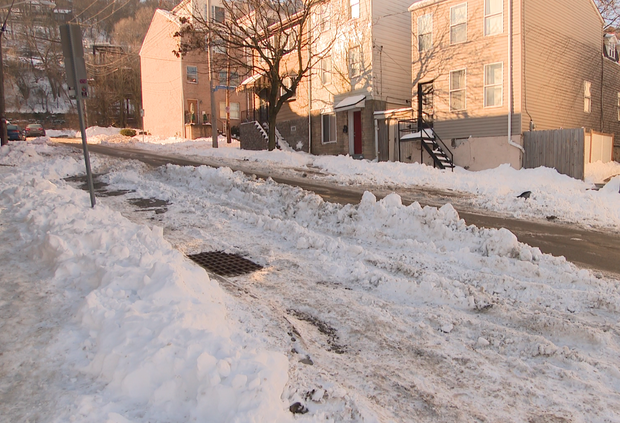
When you look at the massive piles of snow in shopping center parking lots or even right outside your door, you have to wonder when it is going to start disappearing.
"It's not going to start until probably mid-to-late February when temperatures are forecasted to get above normal," said National Weather Service Warning Coordination Meteorologist Fred McMullen.
McMullen says for melting, we need a temperature above freezing, lots of sunshine, a south wind, and a dew point above 32 degrees.
"It helps accelerate the evaporation and stops the evaporation process for the snow to cool, and allows it to turn to a slush and eventually a liquid, very quickly," McMullen said.
McMullen says as nasty as it looks, the dirt in the snowbanks help to absorb the heat from sunlight and aids in the melting process.
"If we can get rain events, that's fine, because that helps the snow, but we don't want too much rain in too short a period over too many days across the Pittsburgh region," McMullen said.
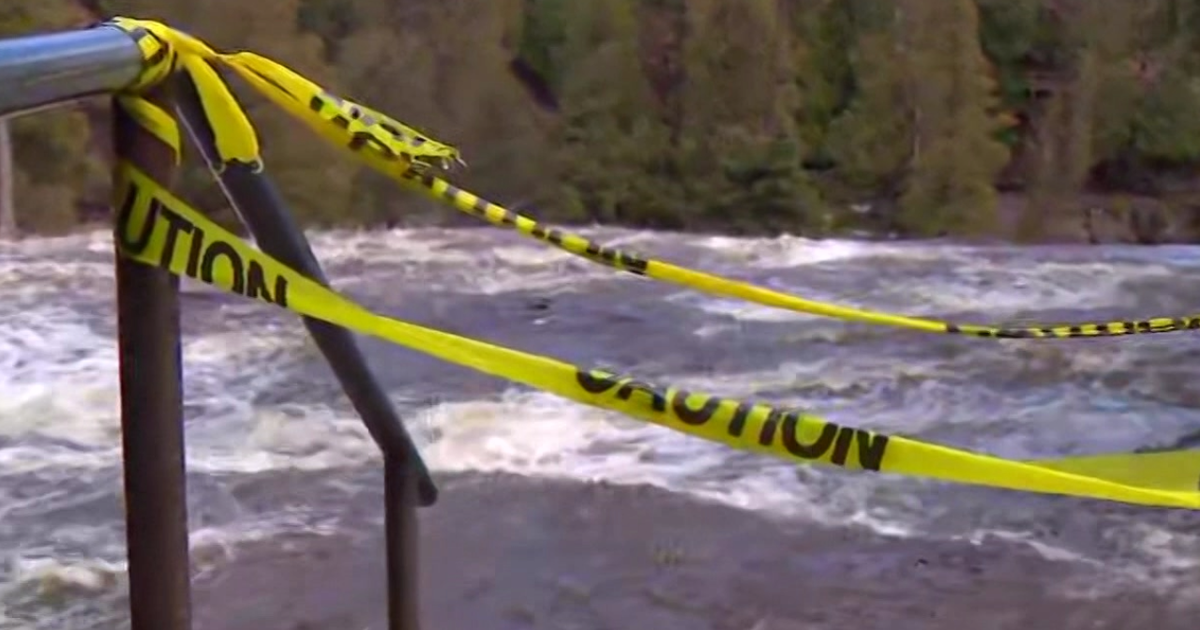
That combination of melting snow and rain is what led to massive flooding in Pittsburgh in 1996.
For now, if you want to speed the melting process up, McMullen says that if you can push the snow to somewhere where it is facing south, it will get more sunlight and melt faster.
In short and logically, the sunny spots are going to melt first.
When it comes to the potential for ice jam flooding, McMullen said we have two things going for us.
We came into the winter with the rivers low due to drought, so they can take around a three foot rise before we'd probably see the jams breaking loose and the National Weather Service doesn't see this being a particularly wet spring.