Sunday in Pittsburgh will be extremely cold before a warm up moves into the area
The Extreme Cold Warning and Cold Weather Advisories go until 10 a.m. Wind gusts will gradually diminish this afternoon, and wind chill values will be around -5 to -10.
Stay safe out there and limit time outdoors.
WEATHER LINKS:
Current Conditions | School Closings & Delays | Submit Your Weather Photos
Today is the 17th day with temperatures at or below the freezing mark, and it looks like we won't get above 32° until Tuesday. For the month, we are about 12 degrees below normal. Remember, if it's too cold for you, it's too cold for your pets!
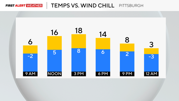
Hourly Temperatures:
- 9 a.m.: 6° Mostly Cloudy
- Noon: 16° Cloudy
- 3 p.m.: 18° Partly Cloudy
- 6 p.m.: 14° Mostly Clear
This week, we finally warm up and stay dry with some sunshine. We are still keeping a very close eye on flooding potential with the big thaw ahead.
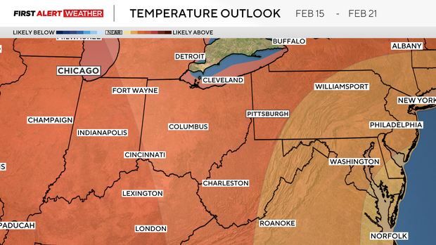
Highs will be in the 40s on Tuesday and Wednesday, in the mid 30s with lows in the 20s for the week, so it does look like it'll be a gradual melt. Our highs will then be near the freezing mark for the end of the week, with a few flurries around.
No big snowfall ahead, and there is almost 40" of snow for the season so far! It looks like above normal temperatures are taking over for the end of the month!

Stay up to date with the KDKA Mobile App – which you can download here!