Philadelphia weather today: Hot and humid August Monday
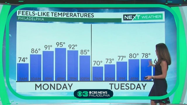
It's a hazy, hot and humid August day as highs return to the low 90s Monday afternoon. Kate Bilo has the forecast.
Watch CBS News
It's a hazy, hot and humid August day as highs return to the low 90s Monday afternoon. Kate Bilo has the forecast.
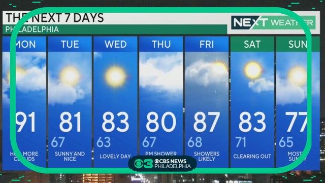
We're looking at warmer, steamier conditions today with temps heading for the low 90s. Kate Bilo has the forecast.
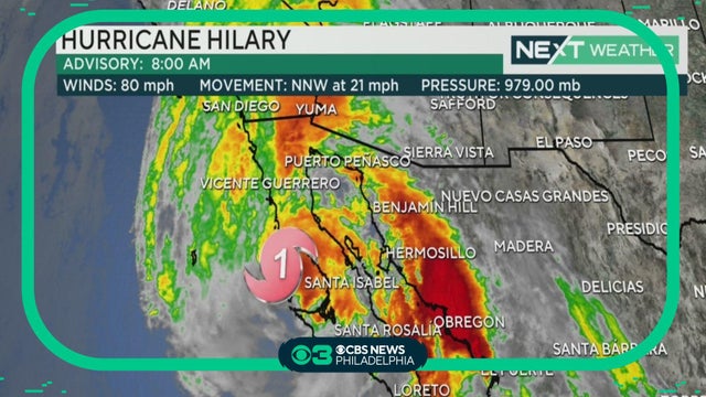
As of Sunday morning Hurricane Hilary was located approximately 300 miles south of San Diego, California.
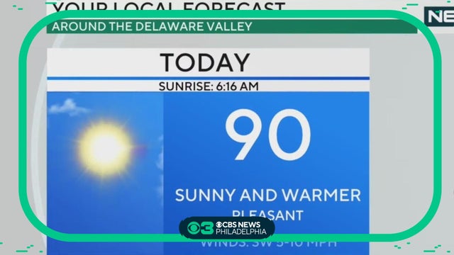
Prepare for a sunny and warm Sunday in Philadelphia. Highs will be near 90.
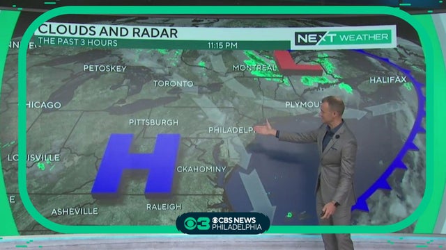
Temperatures Saturday night will return to the low 60s in the city with many spots dipping into the upper 50s to start off Sunday morning. Grant Gilmore reports.
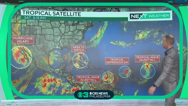
As of Saturday morning Hurricane Hilary was located approximately 225 miles south of Cabo San Lucas, Mexico. Still a large category 3 hurricane, with 125 mph winds moving north-northwest at 16 mph. Grant Gilmore reports. READ MORE: https://cbsloc.al/3QL9HmQ
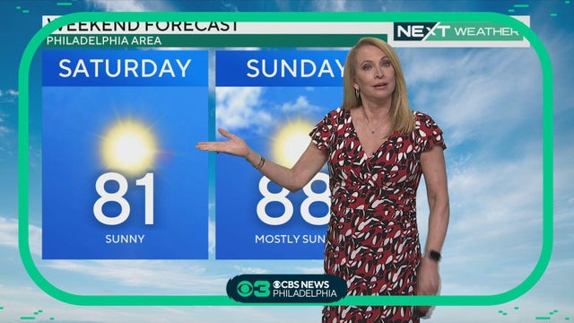
Tammie Souza has the latest on the beautiful weather in our area and the historic Hurricane Hilary out west.

The weekend looks dry and sunny with comfortable highs in the 80s and overnight lows in the 50s and 60s. Bill Kelly reports.
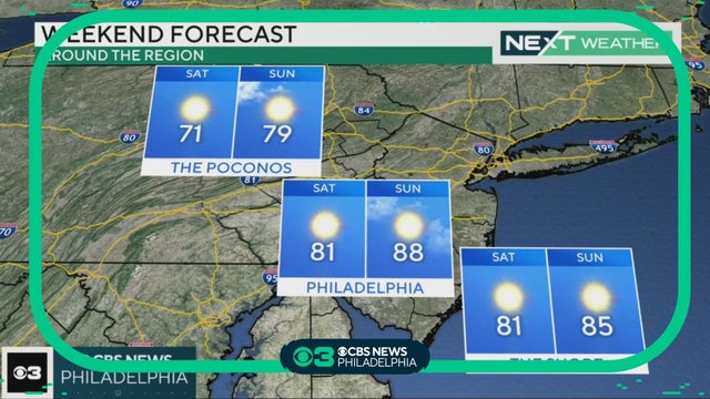
As we bounce on into the weekend, Bill Kelly tells us what will the weather be like.
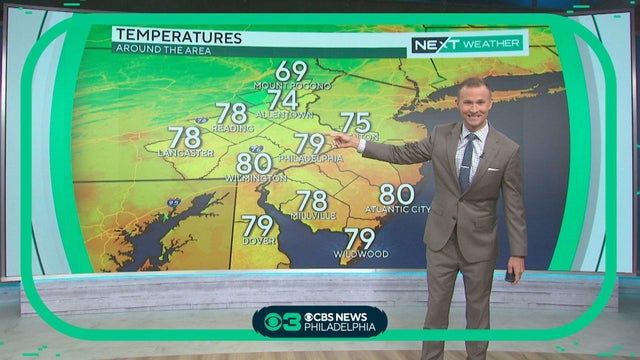
It's a great afternoon and evening for a picnic, but your napkin might blow away, Grant Gilmore says.

Humidity is dropping after morning showers clear out, Kate Bilo reports.
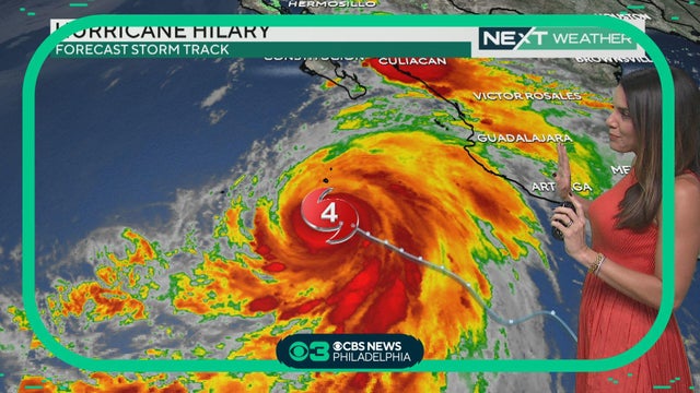
Meteorologist Kate Bilo shows you the latest forecast tracks for the Category 4 hurricane.
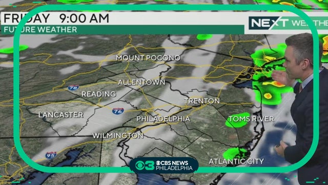
Several disturbances will affect the area with isolated showers and storms through early Friday. Marginal risk (1 of 5) overnight, isolated strong to severe storm possible but not likely. Bill Kelly reports.

No severe weather is expected. Skies will feature a mix of sun and clouds on both Thursday and Friday. Bill Kelly reports.
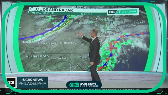
Meteorologist Grant Gilmore has the latest forecast.
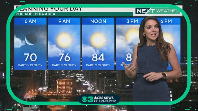
By this weekend we will have a taste of crisp, almost fall-like air, Kate Bilo reports.
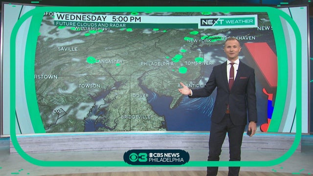
It's a little humid but otherwise a mix of sun and clouds with chances of showers for some in Jersey, Grant Gilmore reports.
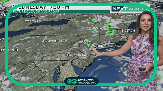
Rain is moving out as conditions improve throughout Wednesday, Kate Bilo reports.
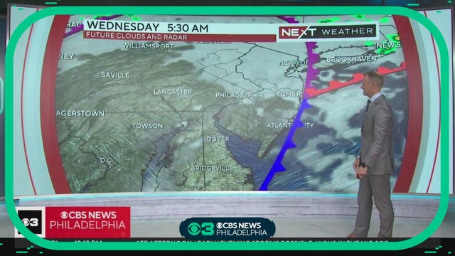
Meteorologist Grant Gillmore has the latest weather forecast.
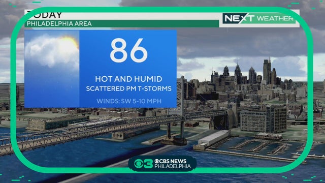
One round of overnight storms has passed, but we could see more late in the day on Tuesday, Kate Bilo reports.
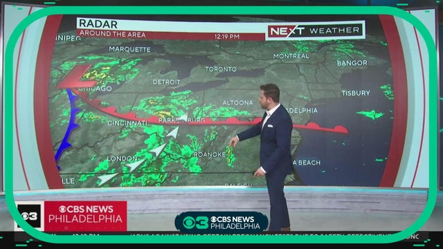
Meteorologist Andrew Kozak has the latest on the timing of severe weather.
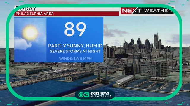
Storms will be isolated but wind shear could lead to an enhanced tornado risk.
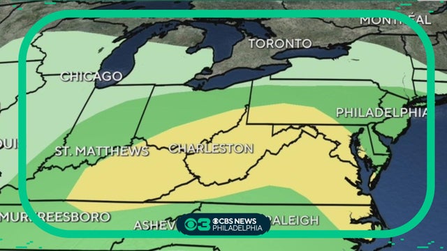
Sunday will be hot and not very humid, with highs near 90 under mostly sunny skies
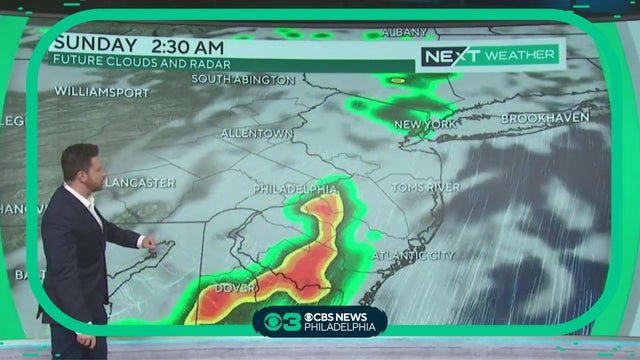
Storms are firing up west and will move into overnight between 12 a.m. and 3 a.m. While tornado warnings are not likely, we may have a few severe thunderstorm warnings, with gusty winds and heavy rain. Andrew Kozak reports.
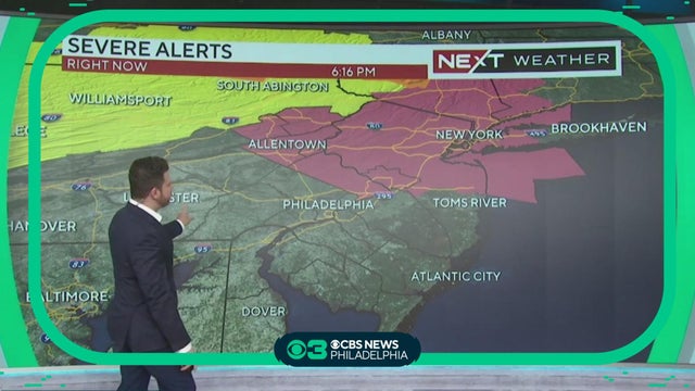
A Severe Thunderstorm Watch has been issued for several New Jersey and Pennsylvania counties until midnight. Andrew Kozak reports.