NEXT Weather: Severe Thunderstorm Watch in effect until midnight
Meteorologist Andrew Kozak has the latest on how the severe storms will impact our area throughout the night.
Watch CBS News
Meteorologist Andrew Kozak has the latest on how the severe storms will impact our area throughout the night.

Storms coming from the northwest will impact the Poconos and Lehigh Valley the most, Tammie Souza reports.

The NEXT Weather team is tracking isolated storms on Saturday, mainly during the evening hours but pop up storms may develop during the afternoon. Bill Kelly reports.

It's a gorgeous night. Bill Kelly reports some rain for this weekend.

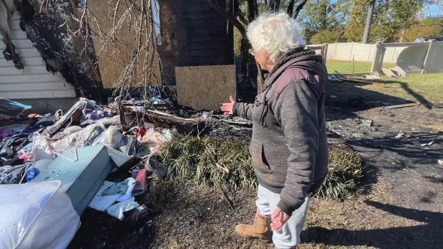
The National Weather Service says two tornadoes touched down in South Jersey during storms Thursday night.

Friday looks clear and should be a great day to get your steps in outdoors, Kate Bilo reports.

Showers and a few storms are headed our way Thursday, Kate Bilo reports.

It's a beautiful summer day across the area with low humidity and a nice breeze with highs in the mid and upper 80s.

Temperatures are comfortable Wednesday before an increase in humidity and chance of sprinkles, Kate Bilo reports.

Cleanup efforts continue across the city of Allentown. CBS News Philadelphia was on the scene talking to concerned neighbors as they try to pick up the pieces of their neighborhood.

It will be blustery and brighter Tuesday afternoon in the Philadelphia area.

After strong storms have moved out, we're seeing a consistent wind blowing east and a few stray sprinkles, Kate Bilo reports.

Chief Meteorologist Bill Kelly has your late night forecast and a look forward to the rest of the week.

The Tornado Watch is active until 11:00 p.m. but several counties are no longer at risk.

Chief Meteorologist Bill Kelly has the latest radar and storm reports.

We have team coverage with Chief Meteorologist Bill Kelly and Andrew Kozak breaking down your hour by hour forecast. The biggest concern aside from the Tornado Watch is the Severe Wind Risk.

Meteorologist Kate Bilo has the latest on the timing of severe weather.

Monday is a NEXT Weather Alert Day with the risk for severe storms in the Philadelphia area in the afternoon and into the evening.

The National Weather Service has issued a tornado watch effective until 11:00 p.m. in the Greater Philadelphia area this evening.

Expect mostly sunny skies today, with a gradual increase in the cloud cover later in the day toward this evening.

Andrew Kozak reports on the stormy weather heading our way in the Philadelphia region.

The weekend is looking dry, not too humid, with a nice mix of sun and clouds. A bit cooler down the shore but all temps look to be in the 80s. Andrew Kozak reports.

Bill Kelly has your weekend forecast.

Bill Kelly has the latest forecast for the weekend.

At this point, our overall severe risk remains fairly low, with a slight risk for the Poconos and Lehigh Valley and a marginal risk extending to the I-95 corridor. Bill Kelly reports.