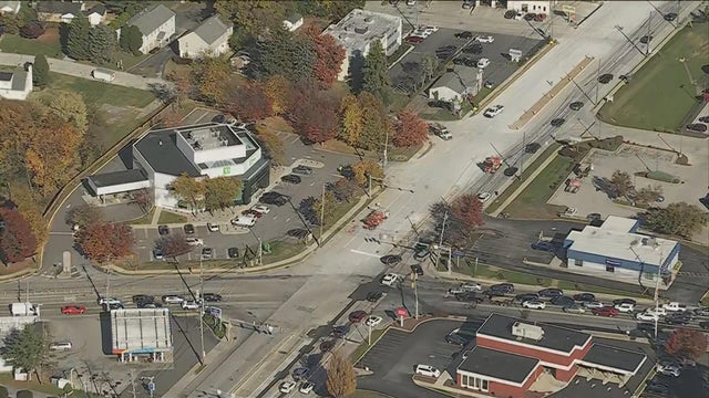
How the heatwave, local weather impacted the search and capture of Danelo Cavalcante
Meteorologist Tammie Souza breaks down the weather impacts and explains the difference between thermal imaging versus infrared imaging.
Watch CBS News
Meteorologist Tammie Souza breaks down the weather impacts and explains the difference between thermal imaging versus infrared imaging.

The heaviest rain and storms happened overnight, but we could still see lingering morning showers, Kate Bilo reports.

Tuesday will be mostly sunny and dry, but a chance for severe weather will roll into the area overnight.

Kate Bilo has the latest on Tuesday night rain and Hurricane Lee's path.

It'll be a warm and humid couple of days before nice weather rolls into the area.

With the high humidity, scattered afternoon storms are likely.

One to two inches of rain is possible as rain continues to fall around the Delaware Valley.

Another round of rain and thunder is expected by the mid-late morning Sunday but severe weather is not likely.

Another round of showers and storms will likely come through Sunday. However, severe weather is not likely.

Temperatures will be dropping into the 80's for the weekend and early next week. By Wednesday temperatures drop to the upper 70's.

Saturday is mainly muggy, but we've got chances of showers and storms later, Andrew Kozak reports.

The sun was shining in Center City and down the Shore but we've already seen some storms roll through Friday afternoon and we're under a severe thunderstorm watch for most of the night. Grant Gilmore reports.

We could see storms between about 3 and 5 p.m. and around 10 p.m. Friday, Tammie Souza reports.

Chance of strong PM storms, but Friday is our last day of temps above 90, Tammie Souza reports.

The heatwave continues through Friday. Strong to severe storms are possible for parts of the area again on Friday. Bill Kelly report.

Grant Gilmore has the latest on storms that could bring heavy rain and damaging winds Thursday.

We'll have high heat through the day and then a chance for gusty storms Thursday evening, Kate Bilo reports.

The heat wave in the Philadelphia area entered its fourth day Wednesday.

This heat wave is expected to continue Wednesday, Meteorologist Kate Bilo reports.

High pressure will provide heat, humidity, and sunshine through late week. Chief Meteorologist Bill Kelly has your latest NEXT Weather forecast.

Feels-like temperatures in this heat wave are climbing past 100 degrees. Grant Gilmore has the latest.

Meteorologist Kate Bilo has the latest on this heat wave that could stretch into six days.

New record highs are possible for Monday, Tuesday and Wednesday. Here's when the heat may finally break.

Monday will be the second day of a six-day heat wave that could bring record highs in temperatures around the Delaware Valley.

If you're looking to find a spot to keep it cool, you're going to have to hit the beach! The coolest spot will be down the shore courtesy of an ocean breeze.