Weather Blog: Wintry Weather For Sunday PM
Snow and sleet accumulations of a coating to 1" are possible for Philly and the N&W suburbs and 1-2" for the Lehigh Valley & Poconos.
Watch CBS News
Snow and sleet accumulations of a coating to 1" are possible for Philly and the N&W suburbs and 1-2" for the Lehigh Valley & Poconos.

If you have travel plans for Thanksgiving either on the roads or in the sky, prepare for delays as a large storm will impact the eastern U.S. Tuesday & Wednesday.

Tuesday will be a nicer day compared to Monday with no umbrellas required with some sun and a high temperature of 46. However, it will be a breezy day with gusts peaking around 30 mph in between systems.
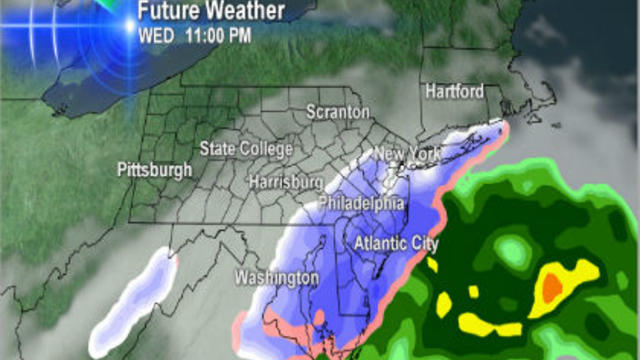
If you are a snow lover, there is good news as the weather pattern remains active during the next week or so.

A warm front continues to move through the Delaware valley Tuesday evening, allowing for a mild air mass to briefly return.

Expect a wild week of weather in the Delaware Valley. A messy mix of precipitation is falling this morning.

Expect a mix of light snow, sleet or freezing rain & drizzle to arrive 6-8 AM Monday. A coating of snow and light ice accumulation is possible if the cold air remains in place long enough.
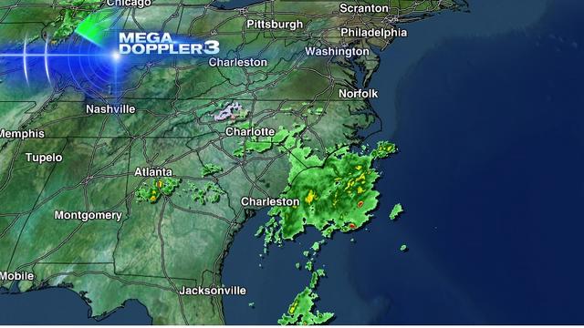
As expected, upper-level energy over the southern U.S. is developing a low pressure system off the southeast coast Tuesday morning. The low will continue to intensify and track up the east coast, but how far offshore is still the question.
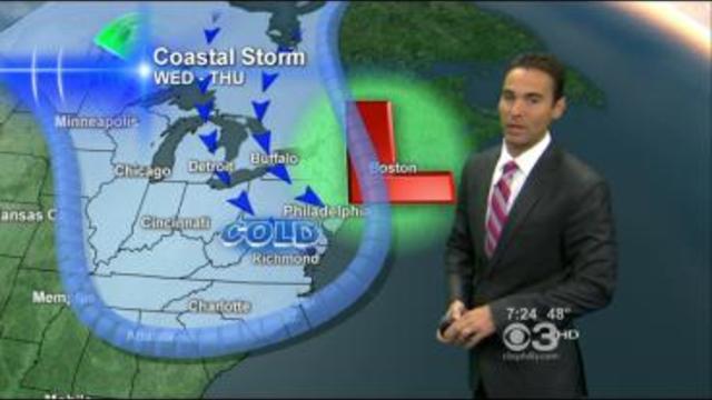
November is a common time for nor'easters to occur and we are currently in a classic weather pattern for them to develop.

The 2012 hurricane season has been active with now 18 named storms. With the peak of hurricane season long gone, climatology shows another little spike in activity in October.

The unofficial start to summer will feel like mid summer this weekend with a hot and humid weather pattern in place.

The night sky will be much brighter this weekend as the year's biggest full moon will occur on Saturday night at 11:35 PM

The Multiple Sclerosis Association of America held a benefit event with Rita's Water Ice, raising money for MSAA programs and services.

Along with the wind, a jet stream disturbance triggered off a few bands of some heavier snow, which came through late this morning and early afternoon.

The mild winter continues as spring-like temperatures return to the forecast over the next few days.

January ended and February begins with spring-like temperatures. Highs both days soared into the 60s ranging 20-25 degrees above the average.

Temperatures this weekend stayed below average as quick shot of arctic air blasted into the Delaware Valley. Highs on Saturday made it into the mid 30s with the average high being in the upper 30s.

Highs on Sunday reached the mid to upper 40s which is still well above the average high of 40 degrees. Temperatures will cool down a bit more into the low to mid 40s for Monday as an area of low pressure tracks by to our south.
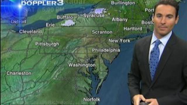
A large area of high pressure is situated over the Delaware Valley keeping the forecast dry, but it has brought a brief surge of cold air.

After a cool start to the weekend with a high of 50 on Saturday, southerly winds with sunshine bumped temperatures in the upper 50s today.

It doesn't feel like Thanksgiving weekend as an unseasonably warm air mass continues to park itself right over the mid-Atlantic This entire holiday weekend has had high temperatures about 15 degrees above average.

This evening at 6:28PM, Asteroid 2005 YU-55 zoomed by Earth and had astronomers and observers in a frenzy. What makes this asteroid so special is that it passed closer to Earth than anything else that's passed in a very long time.

Average temperatures this time of year are in the mid 60s but afternoon highs have been warmer than that.

A large area of high pressure has settled in across the mid-Atlantic for the past several days. This has brought dry conditions, lots of sunshine, and warm temperatures.

After a mild end to September with highs in the upper 70s, October started off with well-below average temperatures in the 60s and 50s.