Another beautiful fall day in Philadelphia region with temps in upper 70s. Here's the weather forecast.

Another beautiful October day ahead! We'll see plenty of sunshine with highs in the upper 70s Thursday. A weak cold front comes through, bringing a gusty northwest breeze this afternoon.
Friday and Saturday look fantastic with sunshine, lower humidity and highs in the low to mid 70s. Saturday is definitely the pick of the weekend!
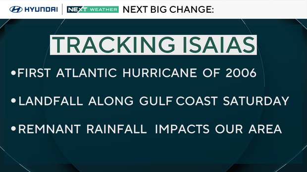
Then our attention turns to Hurricane Isaias, which strengthened overnight in the Gulf. While the hurricane itself will make landfall along the northern Gulf Coast, its remnants could bring widespread rain to our area Sunday into Monday. Some of that rain could be heavy, with 1–2 inches possible.
NEXT big weather changes
Isaias is our first Atlantic hurricane of the 2026 season and our NEXT big change over the weekend.
As it crosses the extremely warm waters of the Gulf it will strengthen to a category 2 or possibly category 3 storm before making landfall early Saturday along the Gulf Coast between Louisianna and the pan handle of Florida. At landfall there will be a storm surge up to 7 feet with waves to 25', winds to 75 mph, heavy rain, and isolated tornadoes.
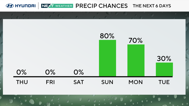
The storm will then weaken as it tracks north into the Tennessee and Ohio Valleys. Clouds will increase on Saturday, and the remnant rains will reach Philadelphia by Sunday and linger through Monday.
We may see pockets of heavy rain, localized ponding, and flash flooding along with scattered thunderstorms.
Here's your 7-day forecast
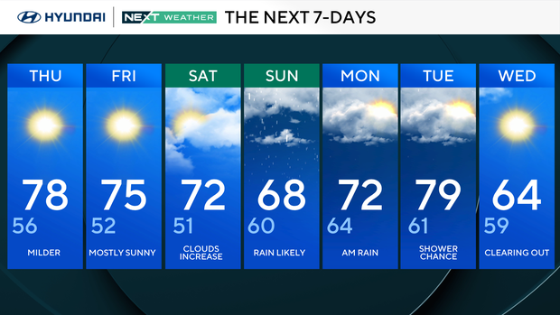
Thursday: Milder. High 78, Low 56
Friday: Mostly sunny. High 75, Low 52
Saturday: Clouds increase. High 72, Low 51
Sunday: Rain likely. High 68, Low 60
Monday: Mornign rain. High 72, Low 64
Tuesday: Shower chance. High 79, Low 61
Wednesday: Clearing out. High 64, Low 59
Get the latest weather info on the CBS News Philadelphia app.


