Humid conditions settle over Philadelphia region as storm threat returns. Here's the weather forecast.

After the flooding storms that moved through the Philadelphia region early Thursday morning, the rain has already started to give way to partially clearing skies and warming temperatures.
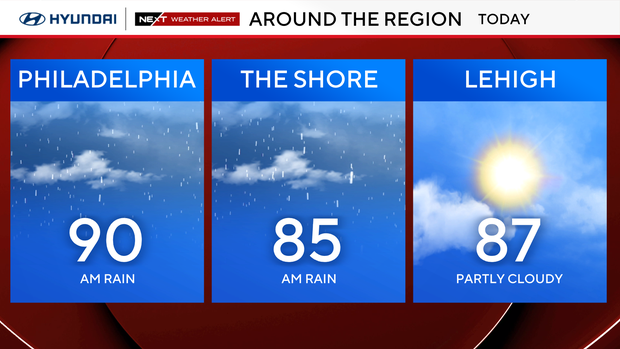
Combined with the humidity, temperatures will feel like the triple digits this afternoon despite actual temperatures in the upper 80s and low 90s. A heat advisory will be in effect for most of the region from 11 a.m. – 8 p.m.
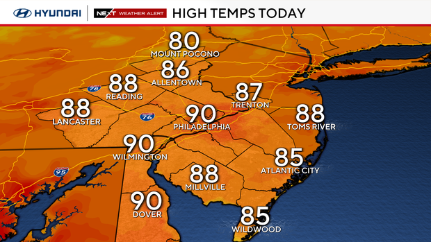
More showers and storms are possible later this afternoon into this evening, bringing back the chance for severe weather. Damaging winds will be the primary concern, but flash flooding and even an isolated tornado will once again be on the table.
These storms should start to clear out of the region before midnight.
NEXT big weather changes
Friday will start with mostly sunny skies, but it'll still be relatively warm and muggy. High temperatures Friday will be in the mid-to-upper 80s.
A cold front will push south through the area Friday afternoon and bring back the chance for a few scattered showers, but severe weather is not expected. Once the front moves south, drier and more seasonable conditions will start to move in for the Labor Day weekend.
Labor Day weekend
Right now, Saturday through Monday looks fantastic with lows in the low 60s and highs near 80 degrees under mostly sunny skies. Labor Day itself looks nearly perfect with temperatures starting near 60 degrees before warming to around 80 degrees with mostly sunny conditions all day long.
Here's your 7-day forecast:
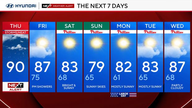
Thursday: NEXT Weather Alert: Storms/heat. High 90
Friday: Evening showers. High 87, Low 75
Saturday: Bright and sunny. High 83, Low 68
Sunday: Sunny skies. High 79, Low 64
Monday: Mostly sunny. High 82, Low 61
Tuesday: Mostly sunny. High 83, Low 65
Wednesday: Partly cloudy. High 87, Low 68
Get the latest weather info on the CBS News Philadelphia app.


