Moderate to major flooding possible along Delaware River at high tide Saturday
DELRAN, N.J. (CBS) -- Moderate to major flooding along the Delaware River was possible Saturday afternoon after a Friday night storm dropped even more rain on saturated ground and swollen streams and creeks.
Saturday morning hydrologic forecasts showed the Delaware River was set to crest at or near major flood stage once it reached high tide between 3 and 3:45 p.m.
However the flooding came earlier than anticipated. Moderate flooding was initially observed in Burlington, according to the National Water Prediction Service before its expected time. Moderate flooding was also initially observed and forecasted just over the bridge in Philadelphia at the Washington Avenue monitoring station.
In Burlington, high tide crested at 10.59 feet, which was in the moderate flood stage and not as high as they feared, county officials said.
Burlington County officials also said there were no impacts to any homes due to the floods.
First responders performed two water rescues involving vehicles in floodwaters.
Saturday morning's hydrologic forecasts originally expected the water level could peak above 11.4 feet at high tide around 3:45 p.m. in Burlington.
In Philadelphia, the water level was forecasted to be near 10 feet, close to the major flood stage of 10.2 feet, at high tide around 3 p.m.
At the monitoring stations on Washington Avenue in Philadelphia and Burlington, New Jersey, the water level at low tide — around 10:30 a.m. — looked about a foot higher than Friday night's low tide, information from the National Water Prediction Service shows.
This all comes after a storm Friday that dropped a half inch to an inch of rain on already saturated ground and swollen streams and creeks in the Philadelphia region - including some places that were still flooded from Tuesday night's storm.
Other streams and creeks are not nearing these flood levels. But in the Delaware, which is a tidal river, the water level is already higher because of the surges of runoff water from the storm. Adding the tide on top of that would lead to this afternoon's crest above flood stage.
RELATED: NEXT Weather: Coastal flooding concerns along Delaware River, Wind Advisory in effect
The National Weather Service issued a Coastal Flood Warning until 7 p.m. Saturday for low-lying areas near shorelines and waterways in Mercer, Gloucester, Camden and Northwestern Burlington counties in New Jersey and in Delaware, Philadelphia and Lower Bucks counties in Pennsylvania.
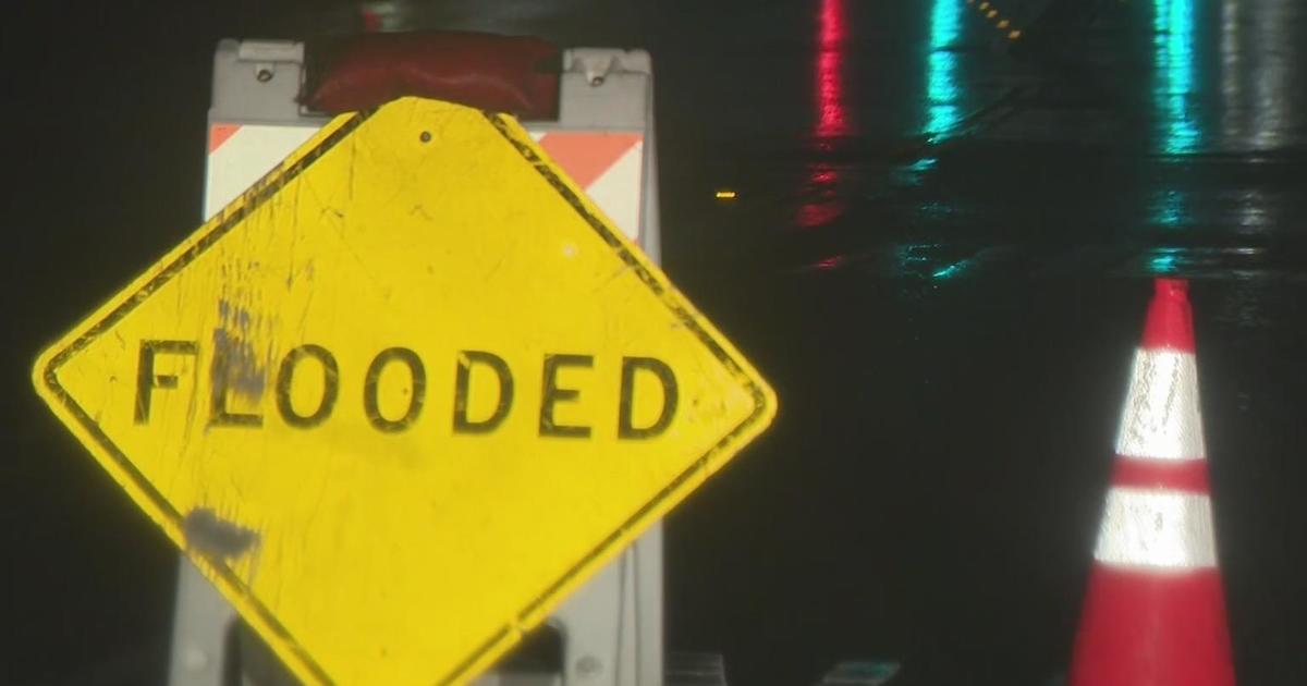
Remember if you encounter floodwater or a flooded road, don't drive through it. Only a foot of rushing water is required to carry a vehicle away.
Burlington County has issued a state of emergency and set up a shelter for residents of flooded areas to voluntarily evacuate. Their Red Cross shelter remains open.
Out in Delran, there was some water on roads early Saturday morning but it receded later in the morning.
Resident Hillborne Wells said he's had a pump running in his basement since Tuesday for a few inches of water.
"Every neighbor has had water, some worse than others," Wells told Jasmine Payoute. "Some were as much as two, three feet of water."
"There's so many people that lost so many valuable items that can't be replaced," Wells said.

