BLOG: More Spring Showers
By Kate Bilo
Despite a few tastes of spring weather here and there (hello, Monday!), it feels as if the real warmth has been on hold for the past couple of weeks.
We finished last week with snow on the ground, and temperatures this week have struggled to reach the daily average of upper 50s. However, the pattern may be changing as we speak!
While the overall weather pattern still looks a bit active into the weekend, by Sunday the warmth will begin to build. This is a classic springtime fight between arctic and tropical air, and everything in between - earlier this week, we had a day with over 1100 severe weather reports for the nation, a simply staggering amount. This clearly illustrates the violent clashes of air masses that happen this time of the year. For at least a couple of days, the chilly air will hold on, but then the warmth wins the fight in our area.
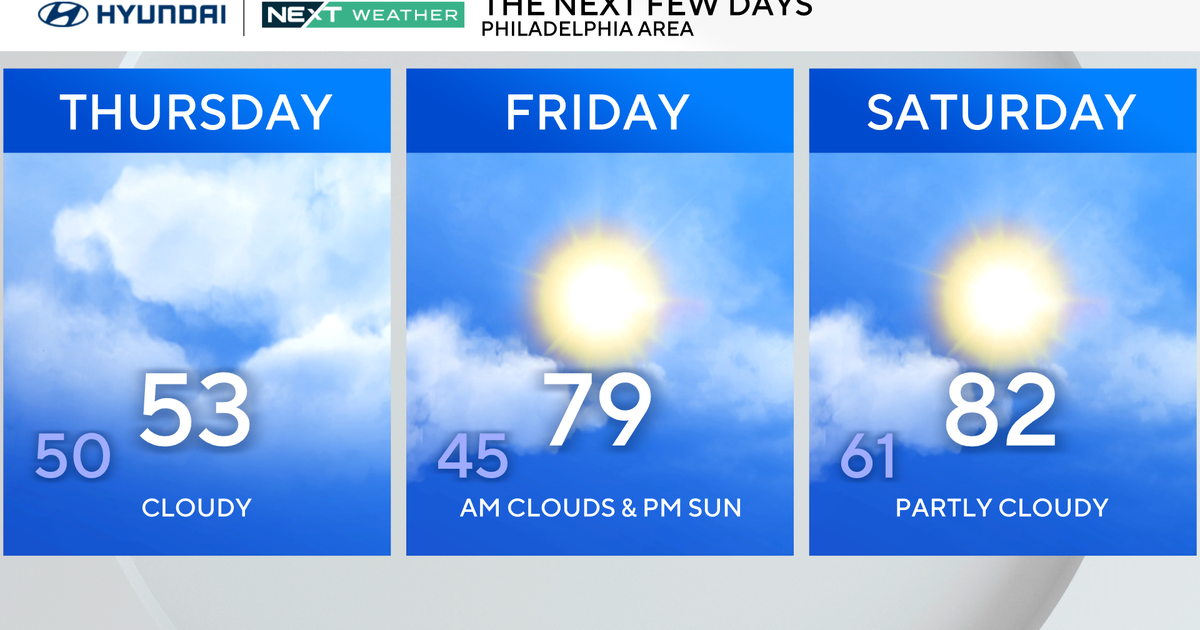
Today, clouds are breaking for some sun and temperatures are rising to around 60 degrees, pretty much where we should be on this date. Tomorrow, however, a storm will move by to the South, drawing some cooler air into the region and bringing us the threat for chilly rain showers through the afternoon and evening hours.
This looks like less than a half-inch for the city, while portions of Delaware and our Western suburbs could pick up a little more rain, mainly from about 2 p.m. on Friday through midnight Saturday. Incidentally, a month ago this storm would have been a classic snowmaker, cutting to the South of the area and drawing in the cold! Our high tomorrow is forecasted to reach about 54, more than 5 degrees below normal.
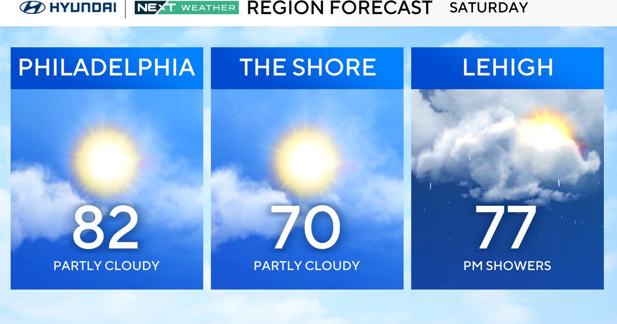
Saturday will be a transition day, with the threat for some morning showers and then a clearing sky - highs should again be seasonable, near 60 - but THEN comes the good stuff. Sunday looks like a partly sunny day with highs rising into the 70's, and then Monday we may make a run at the 80's! The last time we've been there? October 11 of last year.
All the warmth is piling in ahead of a strong cold front that could bring some nasty thunderstorms later Monday afternoon or evening - but even after that, next Tuesday and Wednesday look pretty nice, with highs near seventy and a good deal of sun. Get ready to put some SPRING in your steps!
