How much snow expected in NYC today? See latest snowfall map for surrounding area
NEW YORK -- New York and New Jersey are seeing more snow Friday, and it's likely to impact the evening commute.
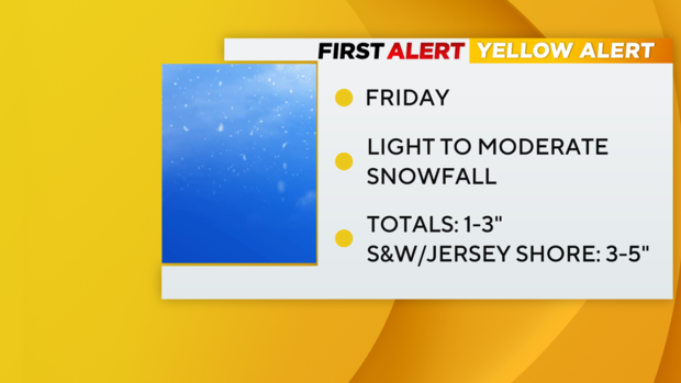
Our First Alert Weather team has issued a Yellow Alert for light to moderate snowfall.
Winter Weather Advisory is in effect for New York City, the immediate suburbs, northern New Jersey and Long Island.
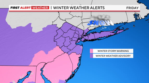
There's also a Winter Storm Warning for Ocean County, which is expected to see higher accumulations.
Storm timeline
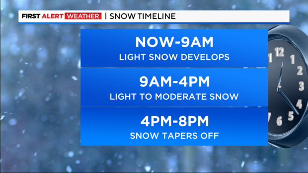
7 a.m. to 9 a.m. Friday: Snow develops from west to east. On the ground will be a dusting to a coating.
9 a.m. to 4 p.m. Friday: Periods of light to moderate snow, adding up to 1 to 2 inches.
4 p.m. to 8 p.m. Friday: Snow tapers off, leaving behind nearly 2 inches.
Snow totals
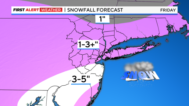
New York City and the immediate suburbs are expected to see anywhere from 1 to 3 inches of accumulation on the ground.
The central part of New Jersey will likely see higher totals of 3 to 5 inches.
Will it warm up?
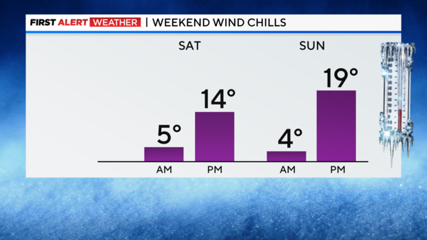
Temperatures Friday night will be in the single digits, with below zero wind chills.
Saturday will be windy and very cold, with highs in the 20s. Sunday looks sunny but still cold, with highs around 30.
Stick with our First Alert Weather team for the latest forecast and weather alerts.


