Florence was the nation's second-rainiest storm in 70 years, meteorologist calculates
WASHINGTON -- Hurricane Florence was the nation's second-rainiest storm in 70 years, a top rainfall meteorologist calculated. Only last year's Hurricane Harvey rained more over a 14,000 square-mile area during a four-day time period, said Ken Kunkel, a meteorologist at the National Oceanic Atmospheric Administration and North Carolina State University.
Scientists said climate change likely boosted rainfall totals for both storms.
Kunkel's preliminary analysis found more than 17.5 inches fell on average over five weather stations in the 14,000 square miles of the eastern Carolinas stretching from Fayetteville, North Carolina, to Florence, South Carolina. The amount is second to Harvey's 25.6 inches over the Gulf Coast, including the Houston area.
"That's a lot of water," Kunkel said.
The third-rainiest storm was in March 2016 in northern Louisiana. The three rainiest and four of the top seven have all occurred in the last three years -- which Kunkel said is no coincidence.
Kunkel, who specializes in analyzing rain data from thousands of weather stations, based his work on rainfall since 1949 when recording became more widespread across the continental United States. Kunkel examined rainfall over a compact area -- 14,000 square miles, a figure based on latitude and longitude squares -- and larger areas such as 20,000, 30,000 and 80,000 square miles.
Florence's unusual amount was most noticeable on the smallest scale.
When the scientist looked at a bigger area, 20,000 square miles, Florence fell to seventh place behind Harvey, 1998's Hurricane Georges, the two Louisiana rainstorms, a 1962 northern California downpour and a 1994 Texas drenching.
The analysis has not been published or peer reviewed yet, but will be, Kunkel said.
It is "not surprising -- but still terrifying -- that the two top ranked soakers happened over the past two years," said Pennsylvania State University climate scientist Michael Mann, who wasn't part of Kunkel's research but praised it. He said warmer oceans, more moisture and slower moving storms due in various ways to climate change make storms dump more rain.
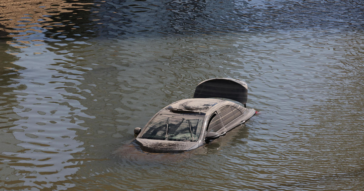
The Carolina coast this week is still feeling the impact of Florence as flooding creates a slow-moving disaster. Rivers swollen by the relentless rains are still flooding homes and businesses in their paths as the water makes its way to the sea.
In one part of Conway, South Carolina, on Tuesday, some homes were surrounded by six feet of floodwater, CBS affiliate WBTW reported. "These are all great people who pretty much lost everything," said Bob Joncas, whose home is in a Conway neighborhood.
The Waccamaw River, which flows through the city and floods at 11 feet, was expected to crest on Wednesday at 21.7 feet. On Friday, it surpassed the previous record high of 17.9 feet set in 2016 by Hurricane Matthew.


