South Florida king tides peak Tuesday continuing risk of coastal flooding from Fort Lauderdale to Miami


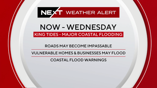
A CBS News Miami NEXT Weather Alert remains in effect across South Florida through the Wednesday morning high tide cycle. Moderate to major coastal flooding will inundate roadways and some homes and businesses.
The Tuesday morning high tide cycle set records across South Florida. The tidal gauge at Port Everglades recorded its highest water level on record, dating back to 2018.
The Virginia Key gauge near Miami recorded its third-highest water level on record, comparable to the crest from Hurricane Wilma in 2005.
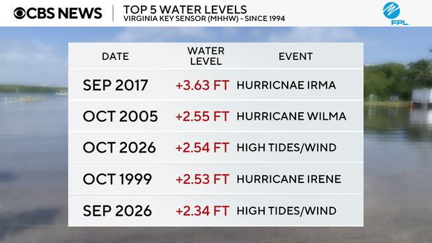
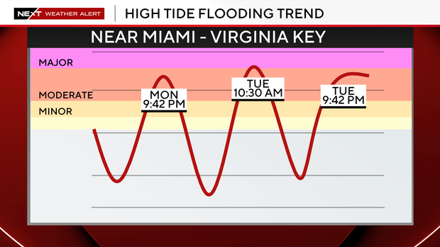
Wednesday morning's tide cycle will bring water levels comparable to those in South Florida once again. It is unlikely for Wednesday morning's tide cycle to exceed that of Tuesday morning.
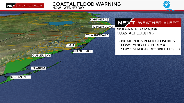
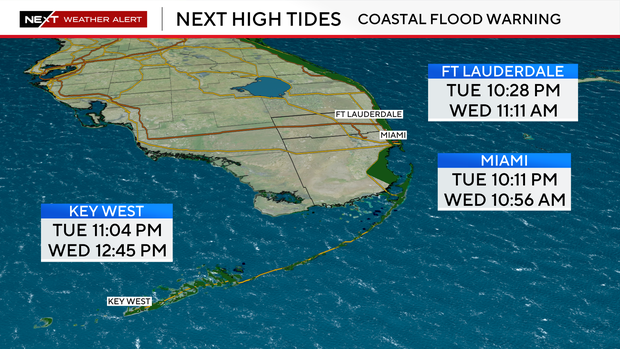
The high tide in Fort Lauderdale is expected at 11:11 a.m. Wednesday. In Miami, the next high tide is at 10:56 a.m. Wednesday.
In Key West, the next high tide is at 12:45 p.m. Wednesday.
The CBS News Miami NEXT Weather team is urging residents not to drive, walk or wade through the saltwater flooding.
The saltwater is corrosive to vehicles.
Scattered showers will continue through the day on Wednesday but pose little additional flood risk to South Florida.
Fortunately, the wind is diminishing and the wind advisory has been allowed to expire. Breezy northeast winds will continue Wednesday with gusts up to 25 mph.
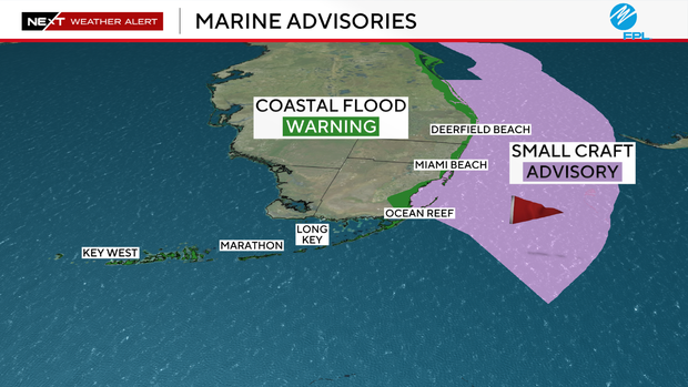
A small craft advisory is in effect through Wednesday due to northeast winds of 20 to 25 knots with gusts of 30 to 35 knots.
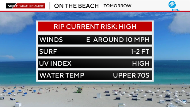
There is also a dangerous high risk of rip currents along our Atlantic beach. It's not safe to go swimming in the ocean.
High temperatures will remain in the low 80s on Wednesday due to northeast winds coming off of the Atlantic
Later in the week and into the weekend, the chance of rain decreases with spotty showers possible through Halloween weekend.
This weekend, we will "fall back" as Daylight Saving Time ends, turning the clocks back an hour on Sunday at 2 a.m.