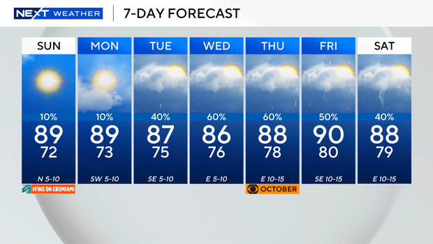
Spectacular Sunday for South Florida for the last weekend of September

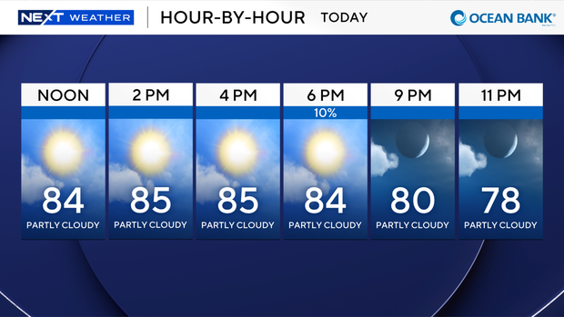
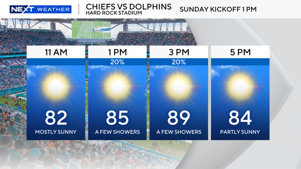
The NEXT Weather Team is tracking another spectacular day across South Florida. The sun will be out in full force with lots of blue skies.
The radar and future rain models show no chance of storms today. Temperatures will climb to the mid- to upper-80s.
We do have a Coastal Flooding Advisory for Miami-Dade and Broward counties until Monday. We will see moderate coastal flooding along beaches and in low-lying communities near the beaches. The Nor'easter slamming New England is kicking up higher-than-normal waves.
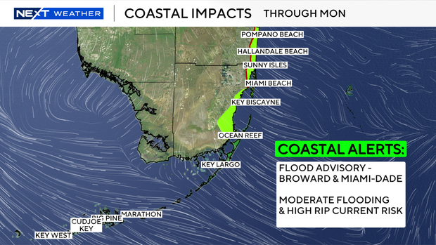
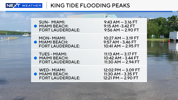
We will see some waves 2-4 feet above normal. We also need to factor in the impact of the King Tides. They will peak at several feet high mid-morning today. The highest will be along Miami Beach. The highest King Tides will arrive on Monday morning.
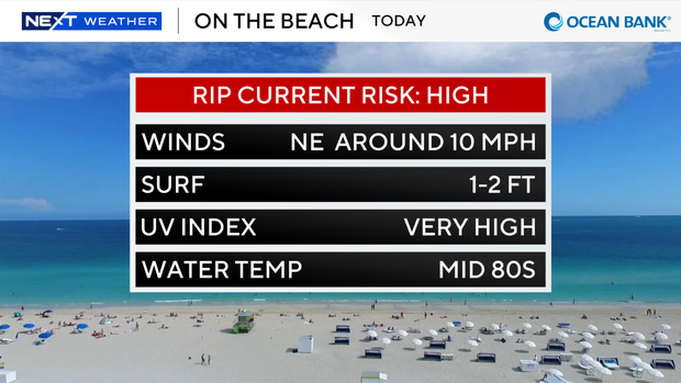
While it seems like the perfect beach day, we unfortunately have a high risk of rip currents through Monday evening. So, if you go to the beach, you'll need to stay on the sand. No swimming this weekend.
The wonderful weather stretches through Monday. The rainy season returns on Tuesday and rolls through most of next week.